MyTopo
Valley of Fire East Nevada US Topo Map
Couldn't load pickup availability
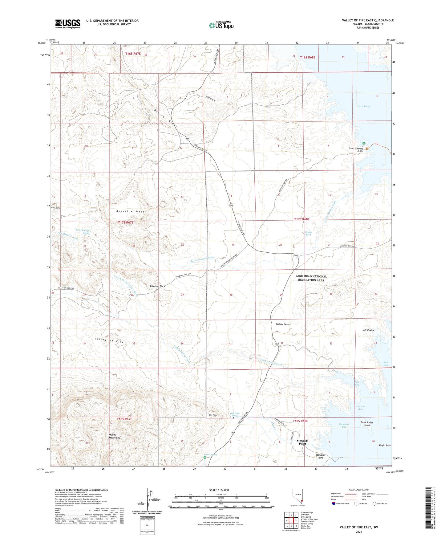
2021 topographic map quadrangle Valley of Fire East in the state of Nevada. Scale: 1:24000. Based on the newly updated USGS 7.5' US Topo map series, this map is in the following counties: Clark. The map contains contour data, water features, and other items you are used to seeing on USGS maps, but also has updated roads and other features. This is the next generation of topographic maps. Printed on high-quality waterproof paper with UV fade-resistant inks.
Quads adjacent to this one:
West: Valley of Fire West
Northwest: Weiser Ridge
North: Overton
Northeast: Overton SE
East: Overton Beach
Southeast: Lime Wash
South: Echo Bay
Southwest: Bitter Spring
This map covers the same area as the classic USGS quad with code o36114d4.
Contains the following named places: Arrowhead Trail Historic Marker, Baseline Mesa, Black Point, Black Ridge Island, Blue Point, Blue Point Spring, Buena Vista, Buena Vista Recreation Area, Captain John J Clark Memorial Monument, Dugway Hill, Elephant Rock, Fire Bay, Fire Canyon Wash, Florence Mine Number One, Florence Mine Number Two, Getchel Spring, Lost City, Lost City Ranch, North Fork Valley of Fire Wash, Overton Township, Overton Wildlife Management Area, Rogers Spring, Saint Thomas Point, Saint Thomas Wash, Salt Bay, Salt Ravine, Silica Dome, Simplot Silica Sand Mine, Slim Creek, Stewarts Bay, Stewarts Point, The Cabins, Valley of Fire, Valley of Fire Wash