MyTopo
Overton SE Nevada US Topo Map
Couldn't load pickup availability
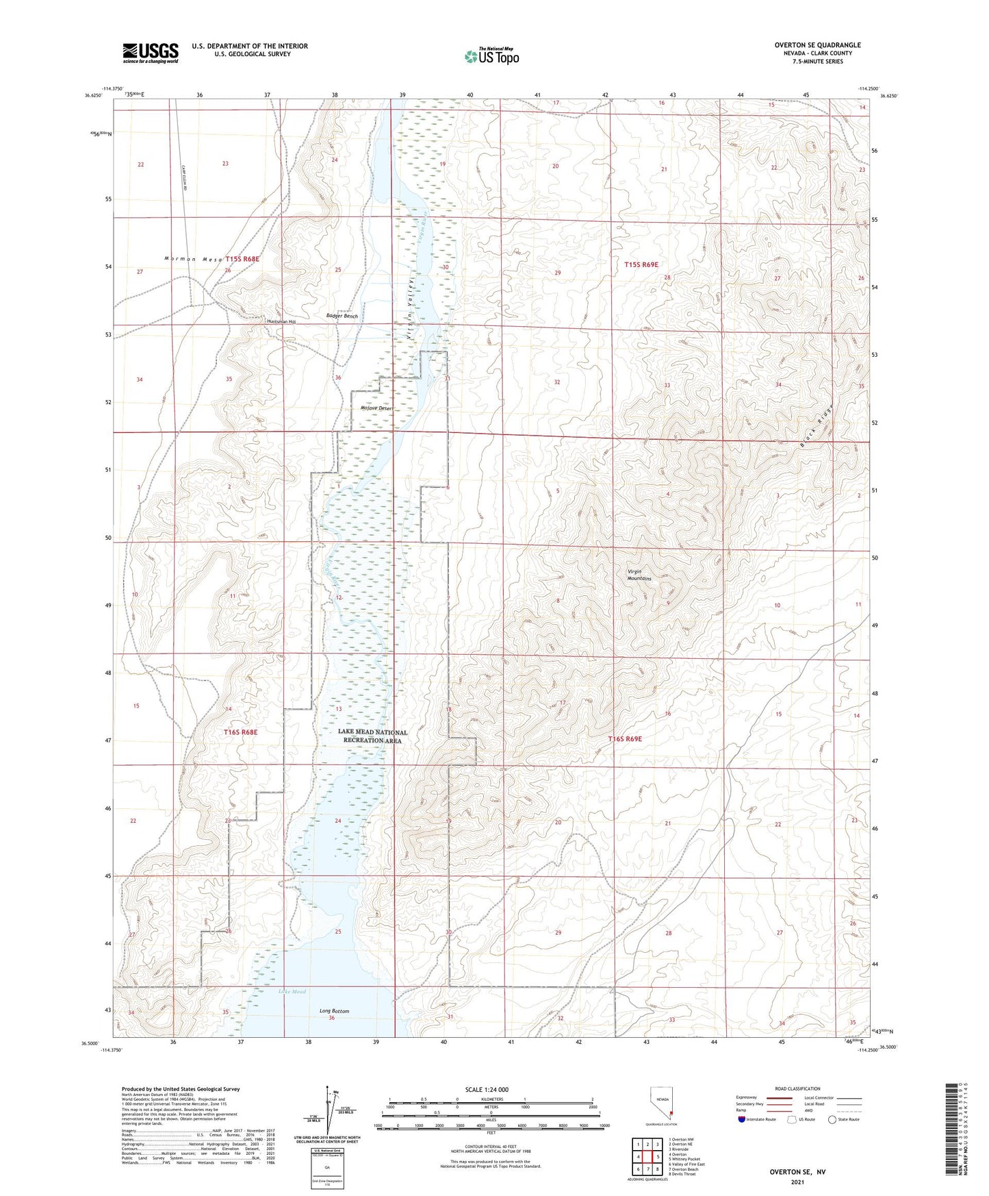
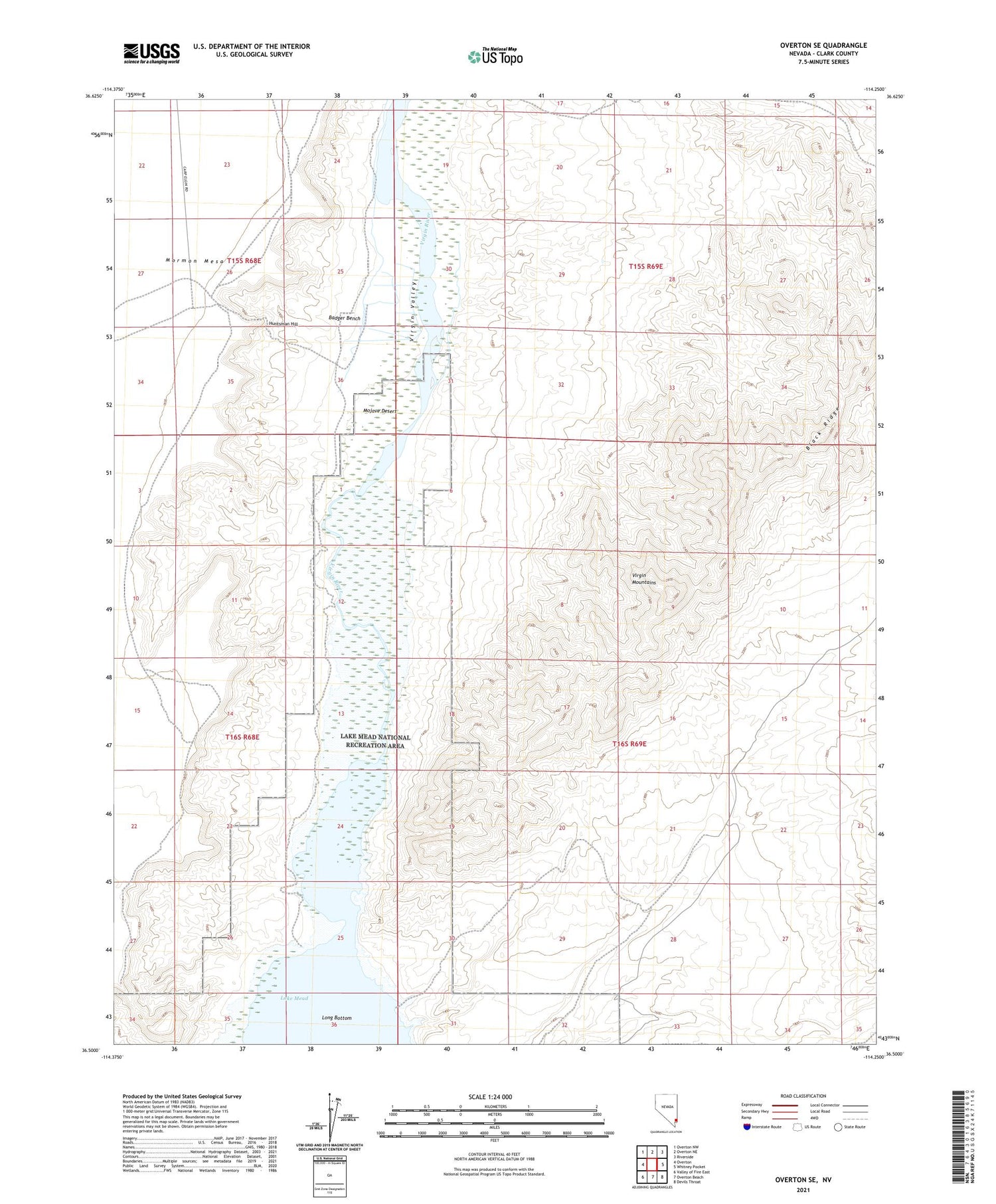
2021 topographic map quadrangle Overton SE in the state of Nevada. Scale: 1:24000. Based on the newly updated USGS 7.5' US Topo map series, this map is in the following counties: Clark. The map contains contour data, water features, and other items you are used to seeing on USGS maps, but also has updated roads and other features. This is the next generation of topographic maps. Printed on high-quality waterproof paper with UV fade-resistant inks.
Quads adjacent to this one:
West: Overton
Northwest: Overton NW
North: Overton NE
Northeast: Riverside
East: Whitney Pocket
Southeast: Devils Throat
South: Overton Beach
Southwest: Valley of Fire East
Contains the following named places: Badger Bench, Brandlewood Gun Club, Gentry Ranch, Huntsman Hill, Long Bottom, Virgin Mud Flats, Virgin Valley