MyTopo
Patrick Nevada US Topo Map
Couldn't load pickup availability
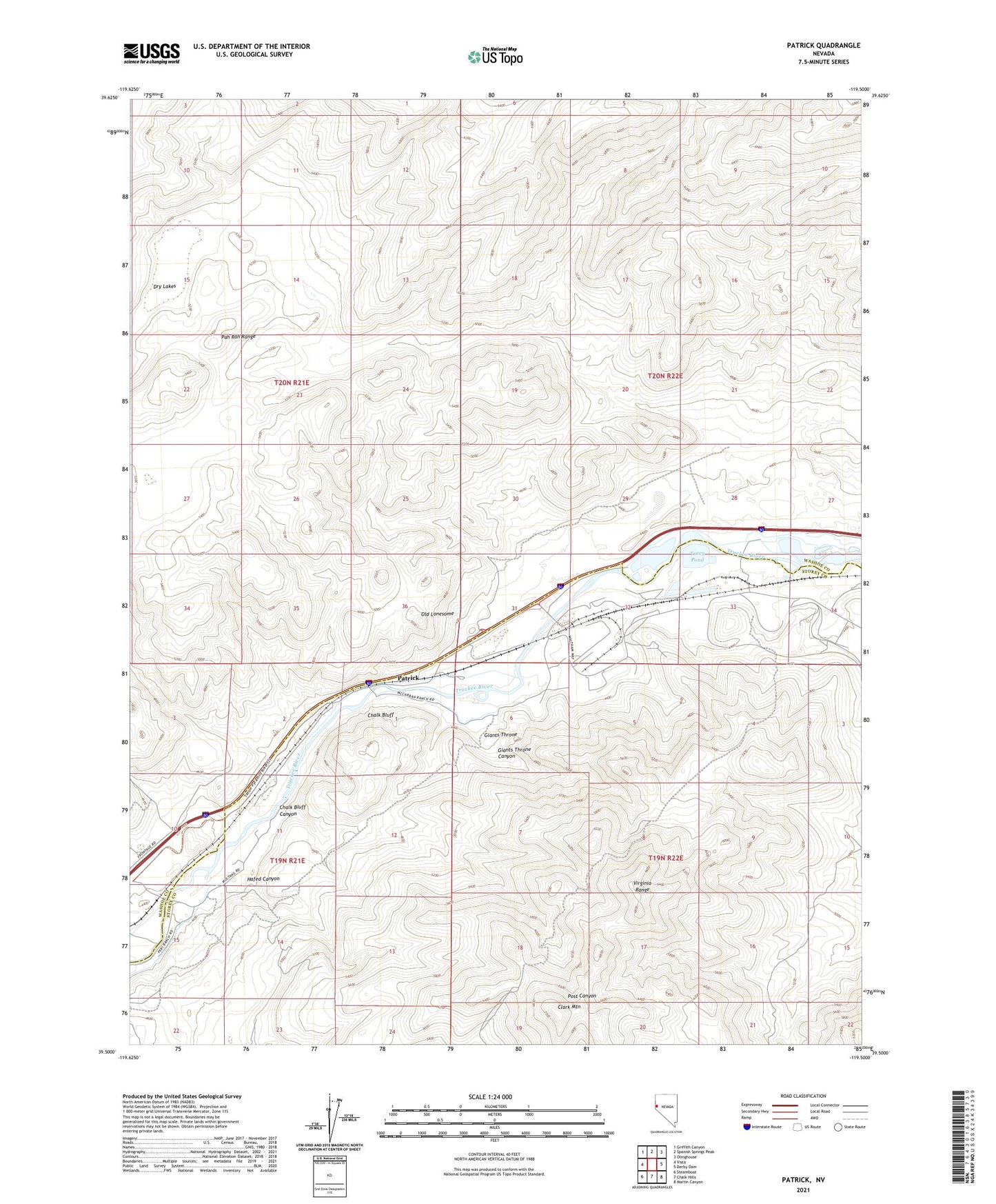
2021 topographic map quadrangle Patrick in the state of Nevada. Scale: 1:24000. Based on the newly updated USGS 7.5' US Topo map series, this map is in the following counties: Washoe, Storey. The map contains contour data, water features, and other items you are used to seeing on USGS maps, but also has updated roads and other features. This is the next generation of topographic maps. Printed on high-quality waterproof paper with UV fade-resistant inks.
Quads adjacent to this one:
West: Vista
Northwest: Griffith Canyon
North: Spanish Springs Peak
Northeast: Olinghouse
East: Derby Dam
Southeast: Martin Canyon
South: Chalk Hills
Southwest: Steamboat
Contains the following named places: 102 Ranch, Browns, Chalk Bluff, Chalk Bluff Canyon, Clark Division, Clark Mountain, Ditho, Giants Throne, Giants Throne Canyon, Hafed Canyon, McCarran Ditch, McCarran Pit, Old Lonesome, Patrick, Tracy Clark Rural Branch Post Office, Tracy Pond, Tracy Powerplant, Wunotoo