MyTopo
Derby Dam Nevada US Topo Map
Couldn't load pickup availability
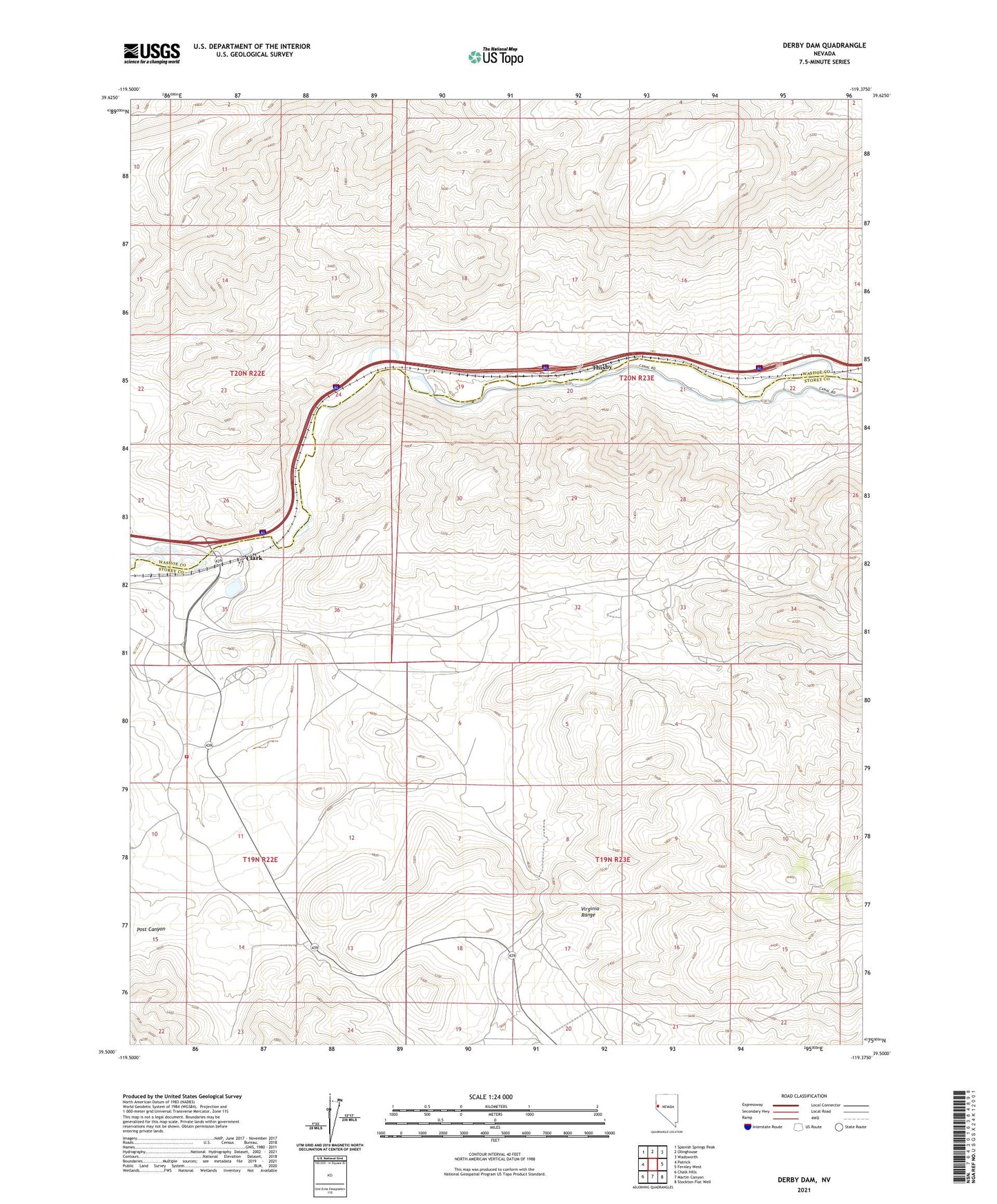
2021 topographic map quadrangle Derby Dam in the state of Nevada. Scale: 1:24000. Based on the newly updated USGS 7.5' US Topo map series, this map is in the following counties: Storey, Washoe. The map contains contour data, water features, and other items you are used to seeing on USGS maps, but also has updated roads and other features. This is the next generation of topographic maps. Printed on high-quality waterproof paper with UV fade-resistant inks.
Quads adjacent to this one:
West: Patrick
Northwest: Spanish Springs Peak
North: Olinghouse
Northeast: Wadsworth
East: Fernley West
Southeast: Stockton Flat Well
South: Martin Canyon
Southwest: Chalk Hills
This map covers the same area as the classic USGS quad with code o39119e4.
Contains the following named places: Celatom Mine, Clark, Clark Mining District, Clark Post Office, Clarks, Clarks Post Office, Derby Dam, Eagle-Picher Industries Inc Mill, Fort Storey, Post Canyon, Sarvia, Storey County Fire Department Station 5 Tahoe - Reno Industrial Complex, Taylor Branch Prospect, Thisby