MyTopo
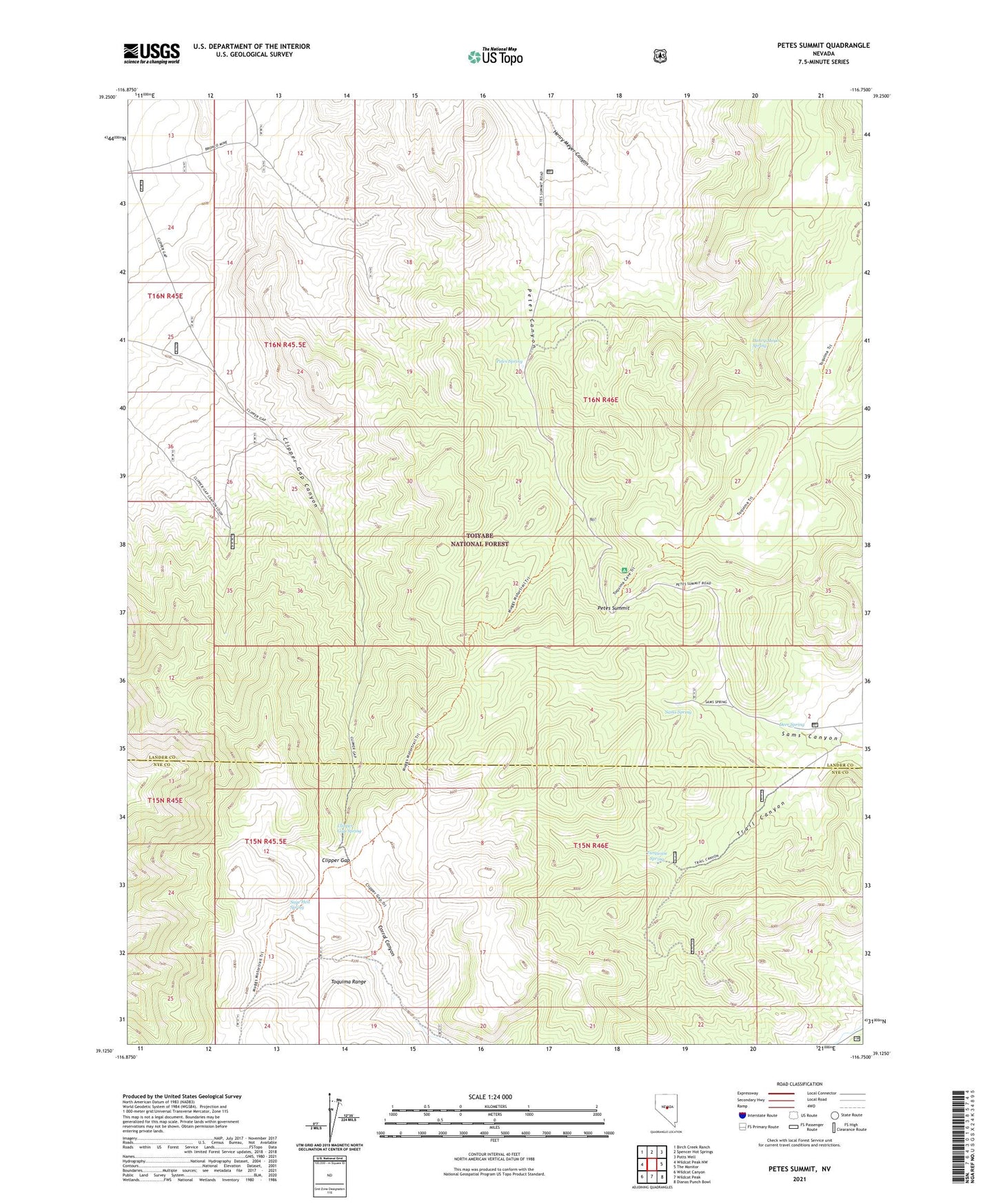
Petes Summit Nevada US Topo Map
Couldn't load pickup availability
Also explore the Petes Summit Forest Service Topo of this same quad for updated USFS data
2021 topographic map quadrangle Petes Summit in the state of Nevada. Scale: 1:24000. Based on the newly updated USGS 7.5' US Topo map series, this map is in the following counties: Lander, Nye. The map contains contour data, water features, and other items you are used to seeing on USGS maps, but also has updated roads and other features. This is the next generation of topographic maps. Printed on high-quality waterproof paper with UV fade-resistant inks.
Quads adjacent to this one:
West: Wildcat Peak NW
Northwest: Birch Creek Ranch
North: Spencer Hot Springs
Northeast: Potts Well
East: The Monitor
Southeast: Dianas Punch Bowl
South: Wildcat Peak
Southwest: Wildcat Canyon
This map covers the same area as the classic USGS quad with code o39116b7.
Contains the following named places: Bronco Mine, Clipper Gap, Clipper Gap Spring, Deer Spring, Henry Meyer Canyon, Henry Meyer Spring, Indian Blue Mine, Petes Spring, Petes Summit, Sage Hen Spring, Sams Spring, Trail Canyon, Turquoise Spring