MyTopo
Pilot Cone Nevada US Topo Map
Couldn't load pickup availability
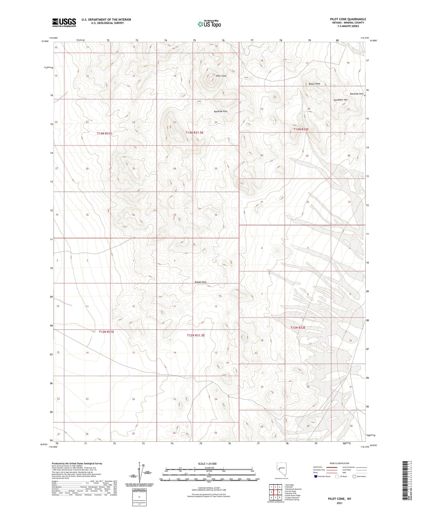
2021 topographic map quadrangle Pilot Cone in the state of Nevada. Scale: 1:24000. Based on the newly updated USGS 7.5' US Topo map series, this map is in the following counties: Mineral. The map contains contour data, water features, and other items you are used to seeing on USGS maps, but also has updated roads and other features. This is the next generation of topographic maps. Printed on high-quality waterproof paper with UV fade-resistant inks.
Quads adjacent to this one:
West: Hu-Pwi Wash
Northwest: Red Ridge
North: Rawhide
Northeast: Big Kasock Mountain
East: Murphys Well
Southeast: Poinsettia Spring
South: Copper Mountain
Southwest: Ghost Dance Ridge
This map covers the same area as the classic USGS quad with code o38118h4.
Contains the following named places: Basalt Peak, Deadhorse Well, Deadhorse Wells, Gundaker Hill, Gundaker Reservoir, Koegel Hills, Pilot Cone, Rawhide Hills, Walker River Division