MyTopo
Reveille Nevada US Topo Map
Couldn't load pickup availability
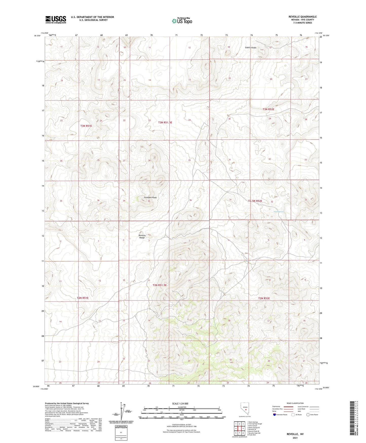
2021 topographic map quadrangle Reveille in the state of Nevada. Scale: 1:24000. Based on the newly updated USGS 7.5' US Topo map series, this map is in the following counties: Nye. The map contains contour data, water features, and other items you are used to seeing on USGS maps, but also has updated roads and other features. This is the next generation of topographic maps. Printed on high-quality waterproof paper with UV fade-resistant inks.
Quads adjacent to this one:
West: Warm Springs SE
Northwest: Warm Springs
North: Twin Springs Slough
Northeast: Echo Canyon
East: Reveille SE
This map covers the same area as the classic USGS quad with code o38116a2.
Contains the following named places: Andrews Mine, Arrow Head, Arrowhead Extension Mine, Arrowhead Mine, Arrowhead Mining District, Arrowhead Post Office, Dooley Mine, Gila Mine, Hyde Spring, Kietzke Mine, Liberty Mine, Lost Burro Mine, New Reveille, New Reveille Mine, Oasis Ranch, Old Reveille, Reveille, Reveille Mining District, Reveille Post Office, Reveille Range, Silvermonial Mine, Streuben Knob, Summit Mine, Van Moner Mine, Vulcan Mine