MyTopo
Warm Springs SE Nevada US Topo Map
Couldn't load pickup availability
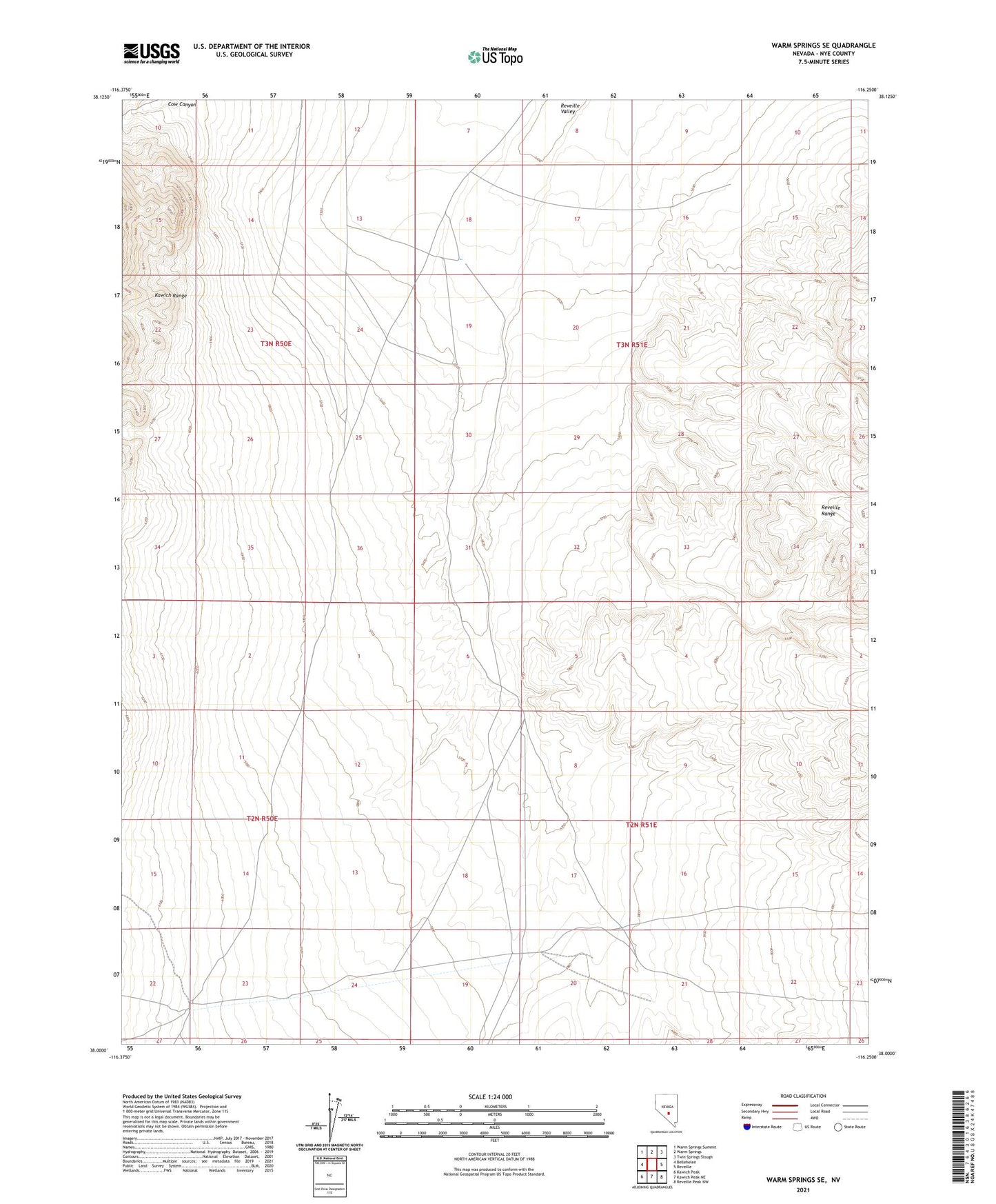
2021 topographic map quadrangle Warm Springs SE in the state of Nevada. Scale: 1:24000. Based on the newly updated USGS 7.5' US Topo map series, this map is in the following counties: Nye. The map contains contour data, water features, and other items you are used to seeing on USGS maps, but also has updated roads and other features. This is the next generation of topographic maps. Printed on high-quality waterproof paper with UV fade-resistant inks.
Quads adjacent to this one:
West: Bellehelen
Northwest: Warm Springs Summit
North: Warm Springs
Northeast: Twin Springs Slough
East: Reveille
This map covers the same area as the classic USGS quad with code o38116a3.
Contains the following named places: Charlies Well, Milk Springs, Reveille Mill