
MyTopo
Rye Patch Canyon Nevada US Topo Map
Couldn't load pickup availability
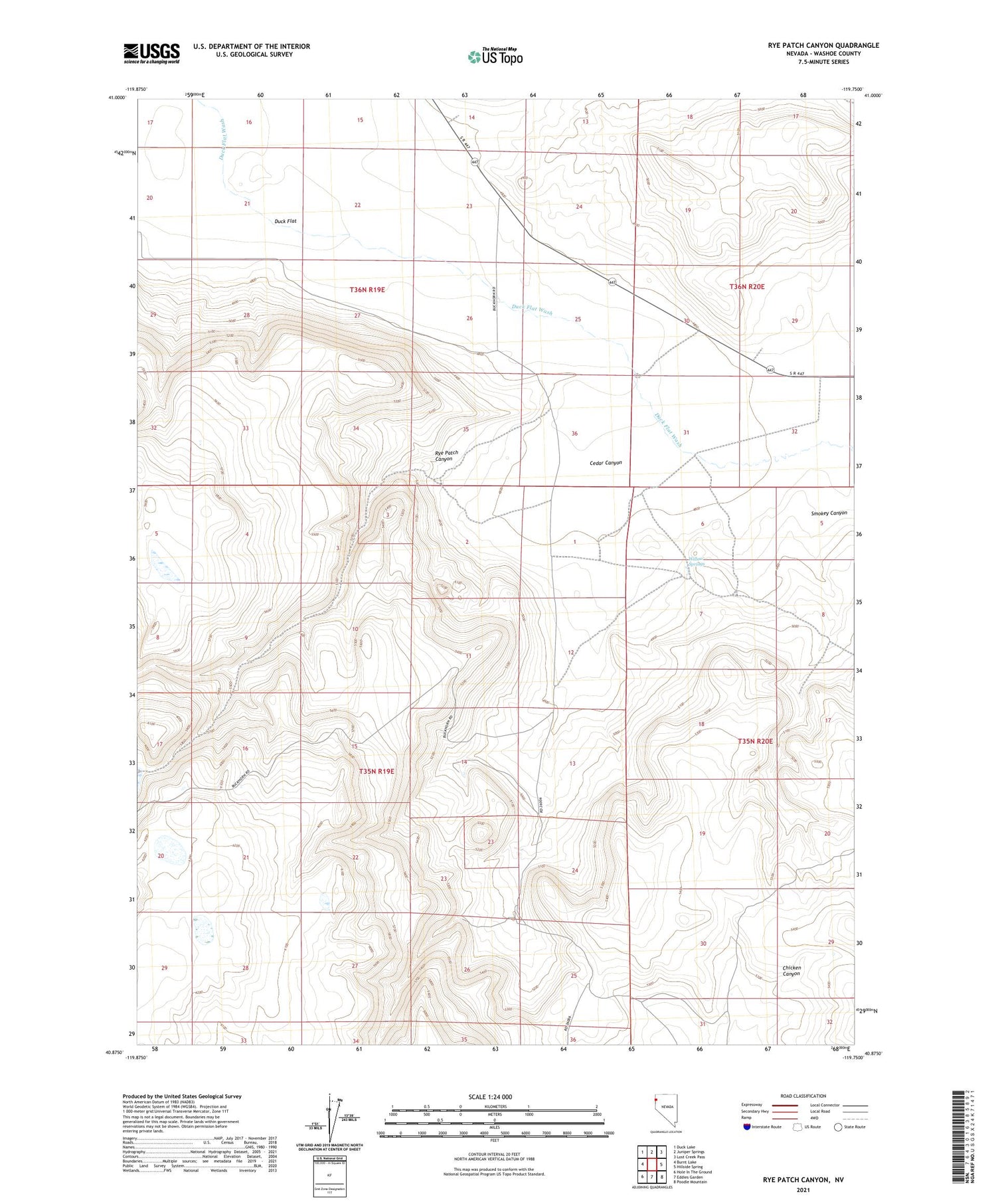
2021 topographic map quadrangle Rye Patch Canyon in the state of Nevada. Scale: 1:24000. Based on the newly updated USGS 7.5' US Topo map series, this map is in the following counties: Washoe. The map contains contour data, water features, and other items you are used to seeing on USGS maps, but also has updated roads and other features. This is the next generation of topographic maps. Printed on high-quality waterproof paper with UV fade-resistant inks.
Quads adjacent to this one:
West: Burnt Lake
Northwest: Duck Lake
North: Juniper Springs
Northeast: Lost Creek Pass
East: Hillside Spring
Southeast: Poodle Mountain
South: Eddies Garden
Southwest: Hole In The Ground
Contains the following named places: Cedar Canyon, Rye Patch Canyon, Rye Patch Sheep Camp, Smokey Canyon, Willow Springs


