MyTopo
Juniper Springs Nevada US Topo Map
Couldn't load pickup availability
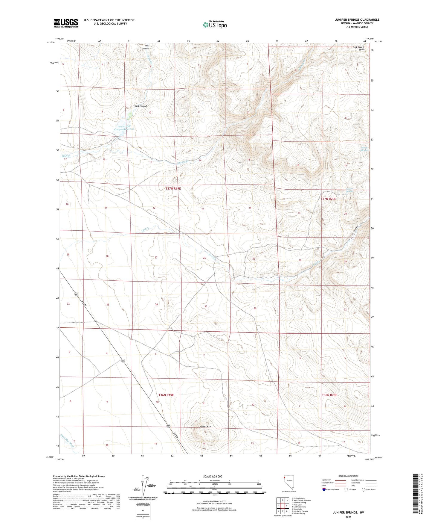
2021 topographic map quadrangle Juniper Springs in the state of Nevada. Scale: 1:24000. Based on the newly updated USGS 7.5' US Topo map series, this map is in the following counties: Washoe. The map contains contour data, water features, and other items you are used to seeing on USGS maps, but also has updated roads and other features. This is the next generation of topographic maps. Printed on high-quality waterproof paper with UV fade-resistant inks.
Quads adjacent to this one:
West: Duck Lake
Northwest: Pegleg Canyon
North: Wall Canyon Reservoir
Northeast: Bordwell Spring
East: Lost Creek Pass
Southeast: Hillside Spring
South: Rye Patch Canyon
Southwest: Burnt Lake
This map covers the same area as the classic USGS quad with code o41119a7.
Contains the following named places: Cherry Creek, Cherry Springs, Juniper Springs, Lost Creek Ranch, Lower Wall Canyon Reservoir, Round Mountain, Wall Canyon, Wall Creek Dam Number One