MyTopo
Eddies Garden Nevada US Topo Map
Couldn't load pickup availability
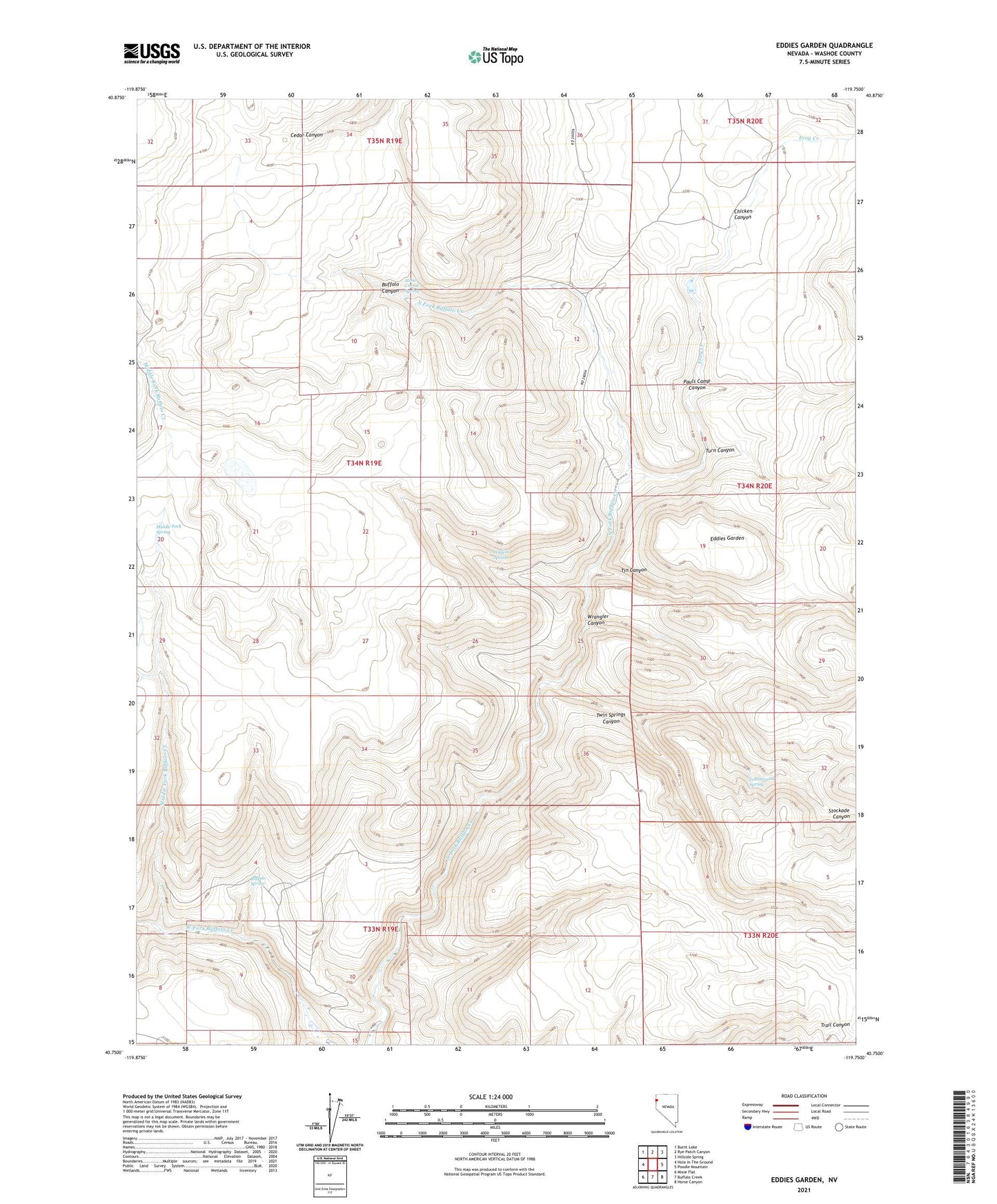
2021 topographic map quadrangle Eddies Garden in the state of Nevada. Scale: 1:24000. Based on the newly updated USGS 7.5' US Topo map series, this map is in the following counties: Washoe. The map contains contour data, water features, and other items you are used to seeing on USGS maps, but also has updated roads and other features. This is the next generation of topographic maps. Printed on high-quality waterproof paper with UV fade-resistant inks.
Quads adjacent to this one:
West: Hole In The Ground
Northwest: Burnt Lake
North: Rye Patch Canyon
Northeast: Hillside Spring
East: Poodle Mountain
Southeast: Horse Canyon
South: Buffalo Creek
Southwest: Mixie Flat
This map covers the same area as the classic USGS quad with code o40119g7.
Contains the following named places: Buffalo Spring, Chicken Canyon, Cottonwood Spring, Eddies Garden, Frog Creek, Middle Fork Buffalo Creek, Middle Fork Spring, Pauls Camp Canyon, Stockade Canyon, Stone Corral, Stone Corral Spring, Tin Canyon, Turn Canyon, Twin Springs Canyon, Wildcat Spring, Wrangler Canyon