MyTopo
Saint Thomas Gap Nevada US Topo Map
Couldn't load pickup availability
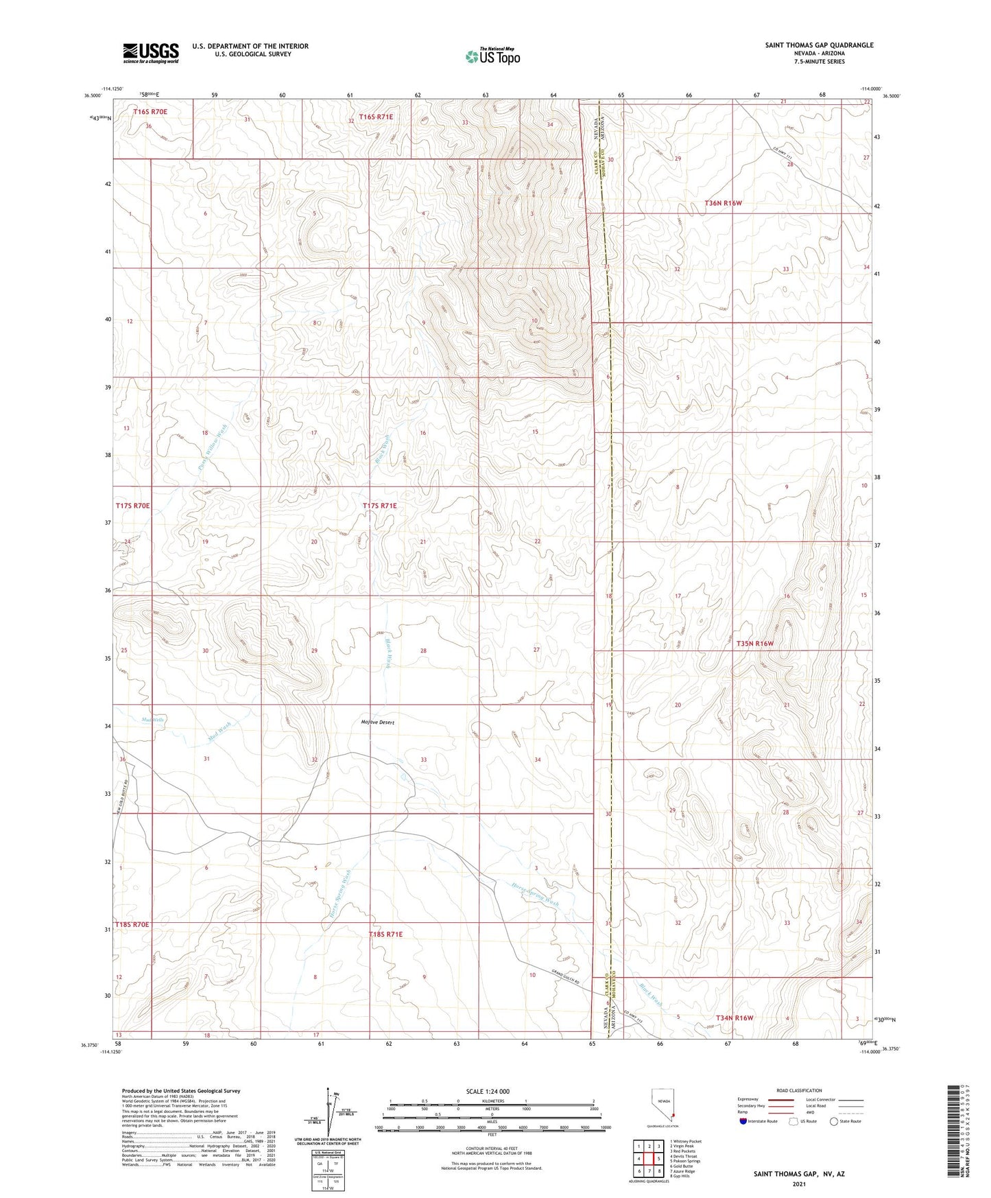
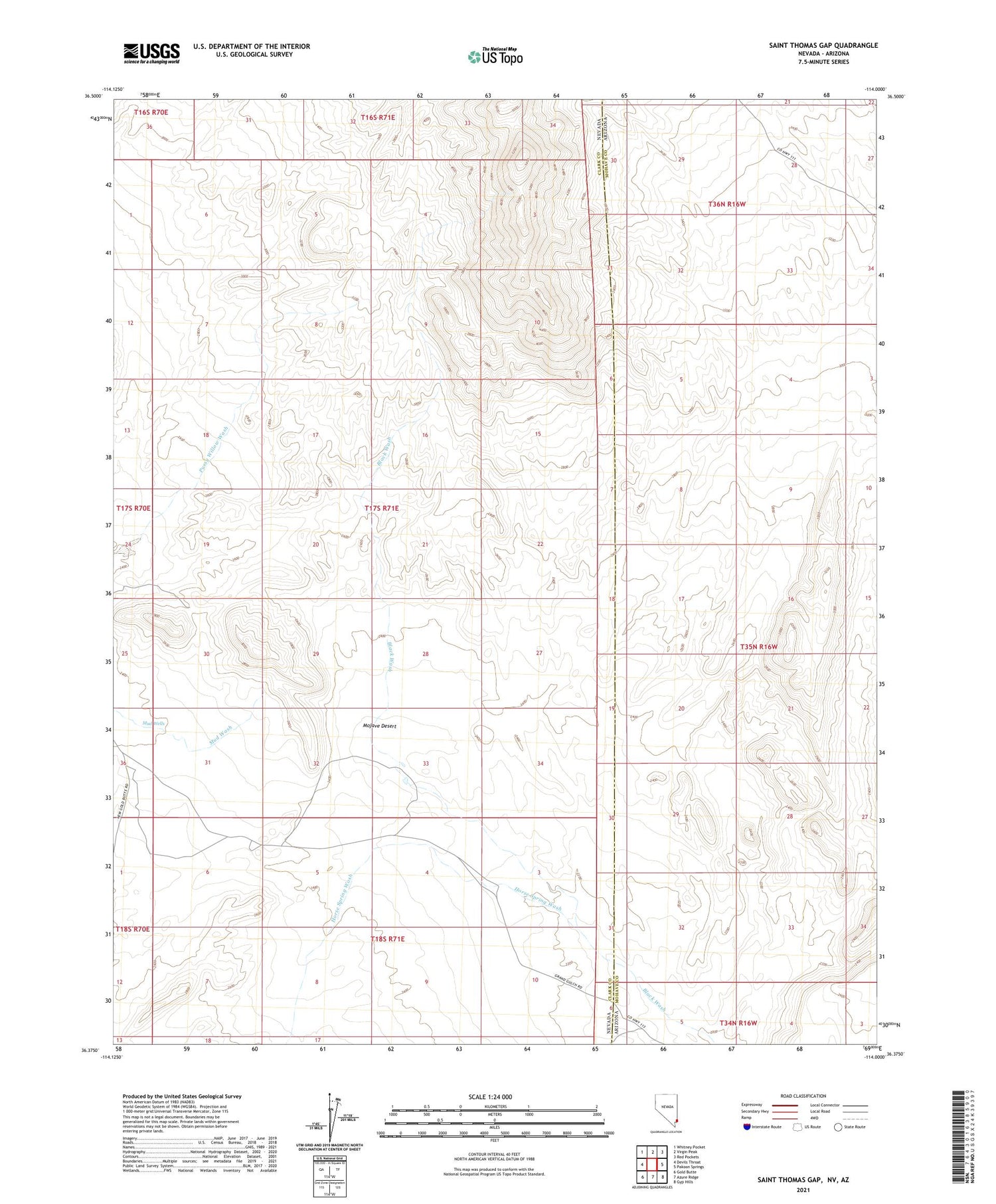
2021 topographic map quadrangle Saint Thomas Gap in the state of Nevada. Scale: 1:24000. Based on the newly updated USGS 7.5' US Topo map series, this map is in the following counties: Clark, Mohave. The map contains contour data, water features, and other items you are used to seeing on USGS maps, but also has updated roads and other features. This is the next generation of topographic maps. Printed on high-quality waterproof paper with UV fade-resistant inks.
Quads adjacent to this one:
West: Devils Throat
Northwest: Whitney Pocket
North: Virgin Peak
Northeast: Red Pockets
East: Pakoon Springs
Southeast: Gyp Hills
South: Azure Ridge
Southwest: Gold Butte
Contains the following named places: Copper City, Mud Well, Mud Wells, Zarina Mine