MyTopo
Azure Ridge Nevada US Topo Map
Couldn't load pickup availability
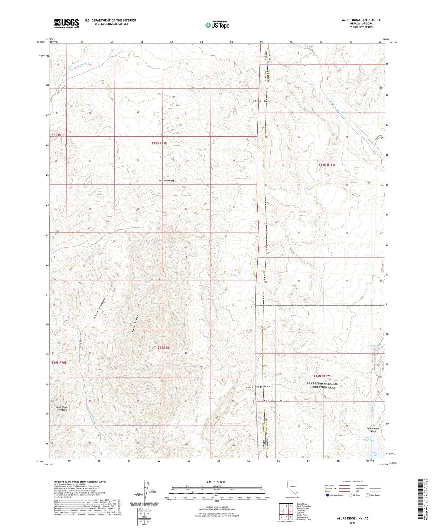
2021 topographic map quadrangle Azure Ridge in the states of Nevada, Arizona. Scale: 1:24000. Based on the newly updated USGS 7.5' US Topo map series, this map is in the following counties: Clark, Mohave. The map contains contour data, water features, and other items you are used to seeing on USGS maps, but also has updated roads and other features. This is the next generation of topographic maps. Printed on high-quality waterproof paper with UV fade-resistant inks.
Quads adjacent to this one:
West: Gold Butte
Northwest: Devils Throat
North: Saint Thomas Gap
Northeast: Pakoon Springs
East: Gyp Hills
Southeast: Snap Canyon West
South: Iceberg Canyon
Southwest: Jumbo Peak
This map covers the same area as the classic USGS quad with code o36114c1.
Contains the following named places: Azure Ridge, Azure Ridge Draw, Bauer, Burro Spring, Garden Wash, Grand Wash, Grand Wash Valley, Immigrant Canyon, Lava Bed, Million Hills