MyTopo
Santa Renia Fields Nevada US Topo Map
Couldn't load pickup availability
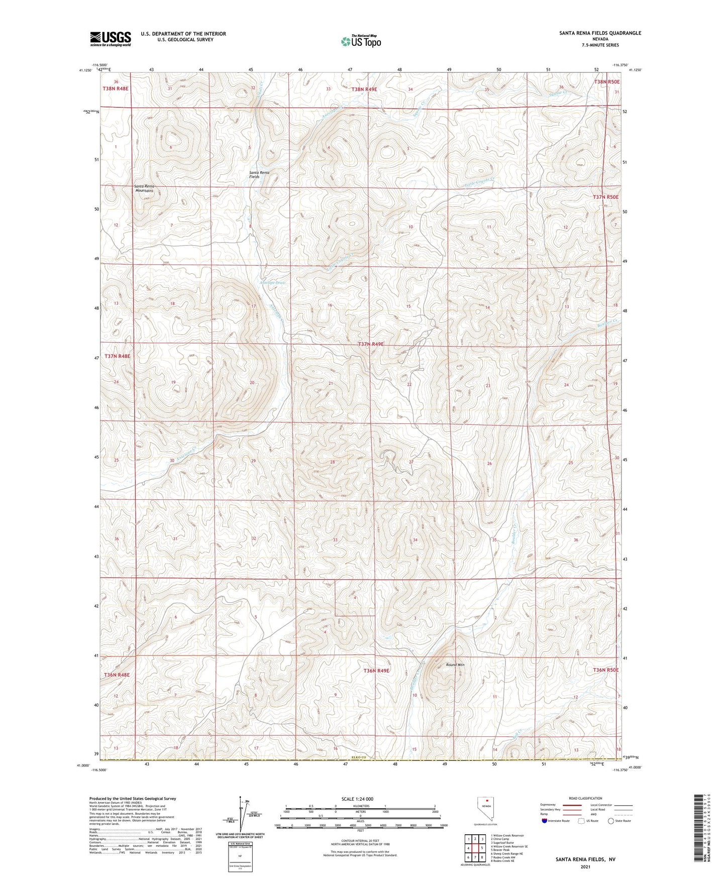
2023 topographic map quadrangle Santa Renia Fields in the state of Nevada. Scale: 1:24000. Based on the newly updated USGS 7.5' US Topo map series, this map is in the following counties: Elko, Eureka. The map contains contour data, water features, and other items you are used to seeing on USGS maps, but also has updated roads and other features. This is the next generation of topographic maps. Printed on high-quality waterproof paper with UV fade-resistant inks.
Quads adjacent to this one:
West: Willow Creek Reservoir SE
Northwest: Willow Creek Reservoir
North: China Camp
Northeast: Sugarloaf Butte
East: Beaver Peak
Southeast: Rodeo Creek NE
South: Rodeo Creek NW
Southwest: Sheep Creek Range NE
This map covers the same area as the classic USGS quad with code o41116a4.
Contains the following named places: Alkali Creek, Barium Mine, Bootstrap Mine, Bootstrap Mining District, Little Coyote Creek, Rossi Mine, Round Mountain, Santa Renia Fields, Santa Renia Mountains, Santa Rita Ranch, Squaw Creek, The Grade, Tie Corral