MyTopo
Shoshone Meadows Nevada US Topo Map
Couldn't load pickup availability
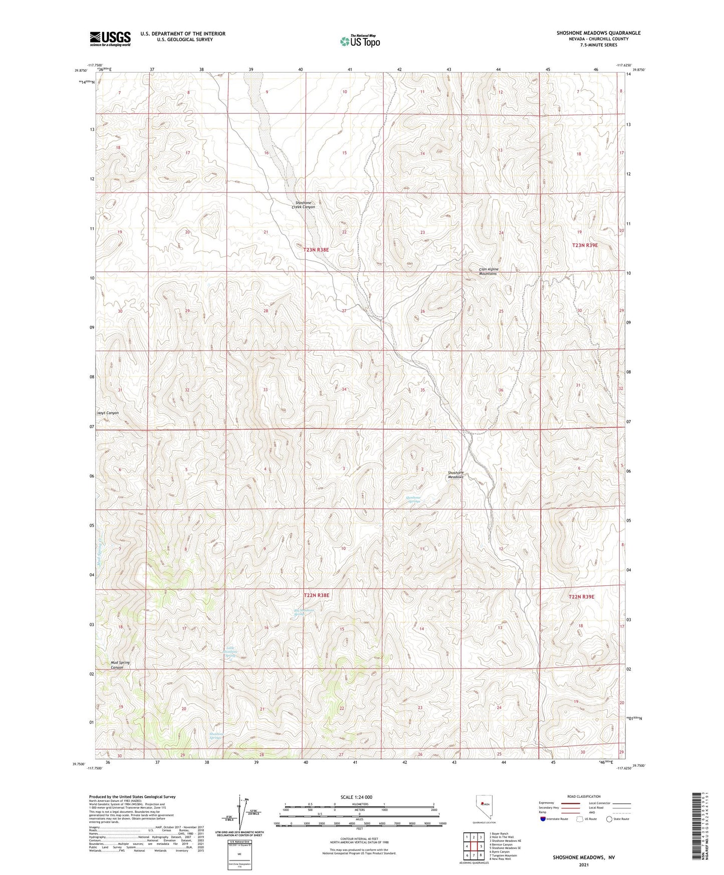
2021 topographic map quadrangle Shoshone Meadows in the state of Nevada. Scale: 1:24000. Based on the newly updated USGS 7.5' US Topo map series, this map is in the following counties: Churchill. The map contains contour data, water features, and other items you are used to seeing on USGS maps, but also has updated roads and other features. This is the next generation of topographic maps. Printed on high-quality waterproof paper with UV fade-resistant inks.
Quads adjacent to this one:
West: Bernice Canyon
Northwest: Boyer Ranch
North: Hole In The Wall
Northeast: Shoshone Meadows NE
East: Shoshone Meadows SE
Southeast: New Pass Well
South: Tungsten Mountain
Southwest: Byers Canyon
This map covers the same area as the classic USGS quad with code o39117g6.
Contains the following named places: Big Shoshone Spring, Little Shoshone Spring, Red Bird Mine, Shoshone Creek Canyon, Shoshone Meadows, Shoshone Springs