
MyTopo
Smelser Pass Nevada US Topo Map
Couldn't load pickup availability
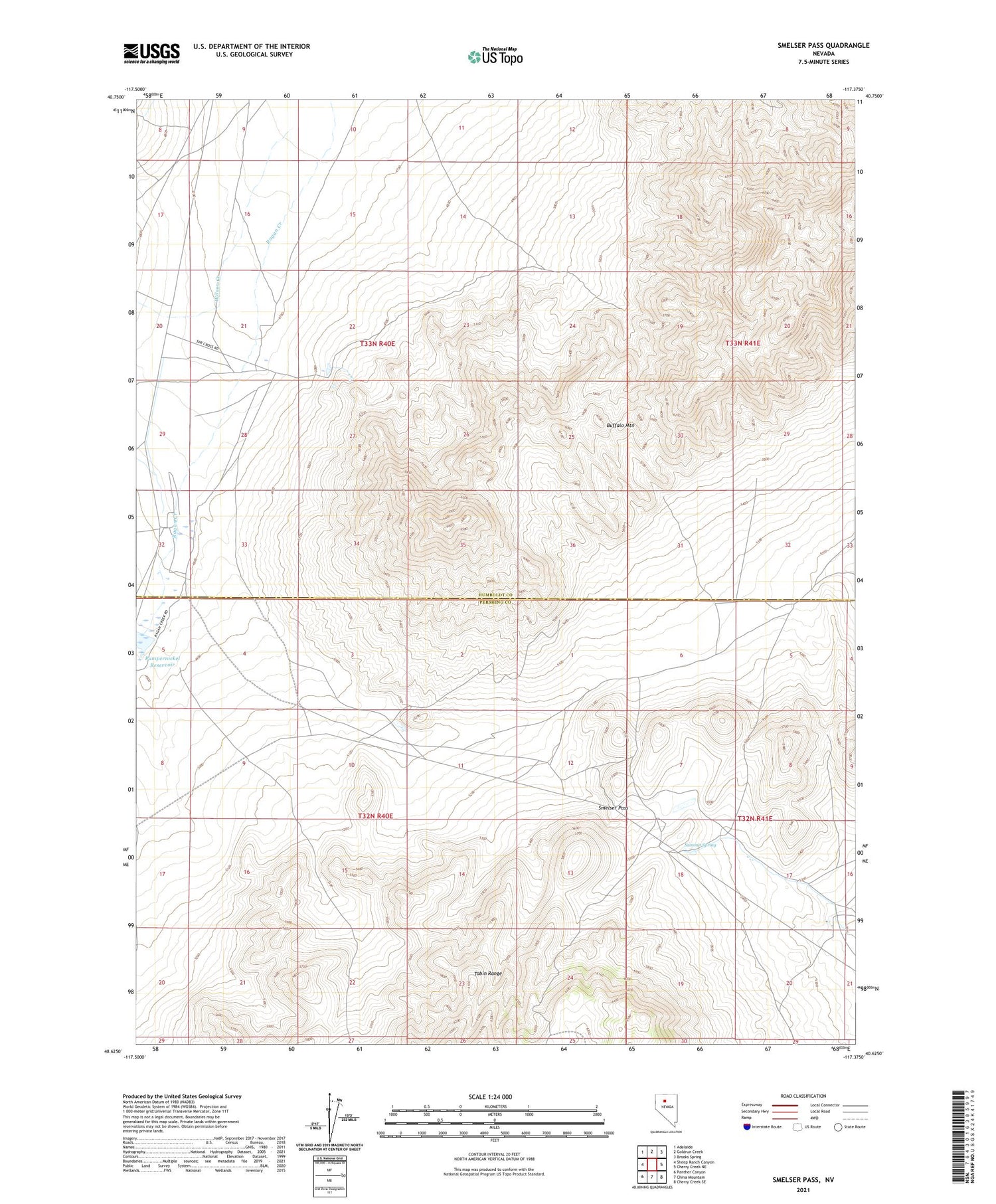
2021 topographic map quadrangle Smelser Pass in the state of Nevada. Scale: 1:24000. Based on the newly updated USGS 7.5' US Topo map series, this map is in the following counties: Humboldt, Pershing. The map contains contour data, water features, and other items you are used to seeing on USGS maps, but also has updated roads and other features. This is the next generation of topographic maps. Printed on high-quality waterproof paper with UV fade-resistant inks.
Quads adjacent to this one:
West: Sheep Ranch Canyon
Northwest: Adelaide
North: Goldrun Creek
Northeast: Brooks Spring
East: Cherry Creek NE
Southeast: Cherry Creek SE
South: China Mountain
Southwest: Panther Canyon
Contains the following named places: Polkinghorne Ranch, Pumpernickel Dam, Pumpernickel Reservoir, Schmellzer Farm, Smelser Pass, Summit Spring, Tipton Ranch, Wilson Creek


