MyTopo
Cherry Creek NE Nevada US Topo Map
Couldn't load pickup availability
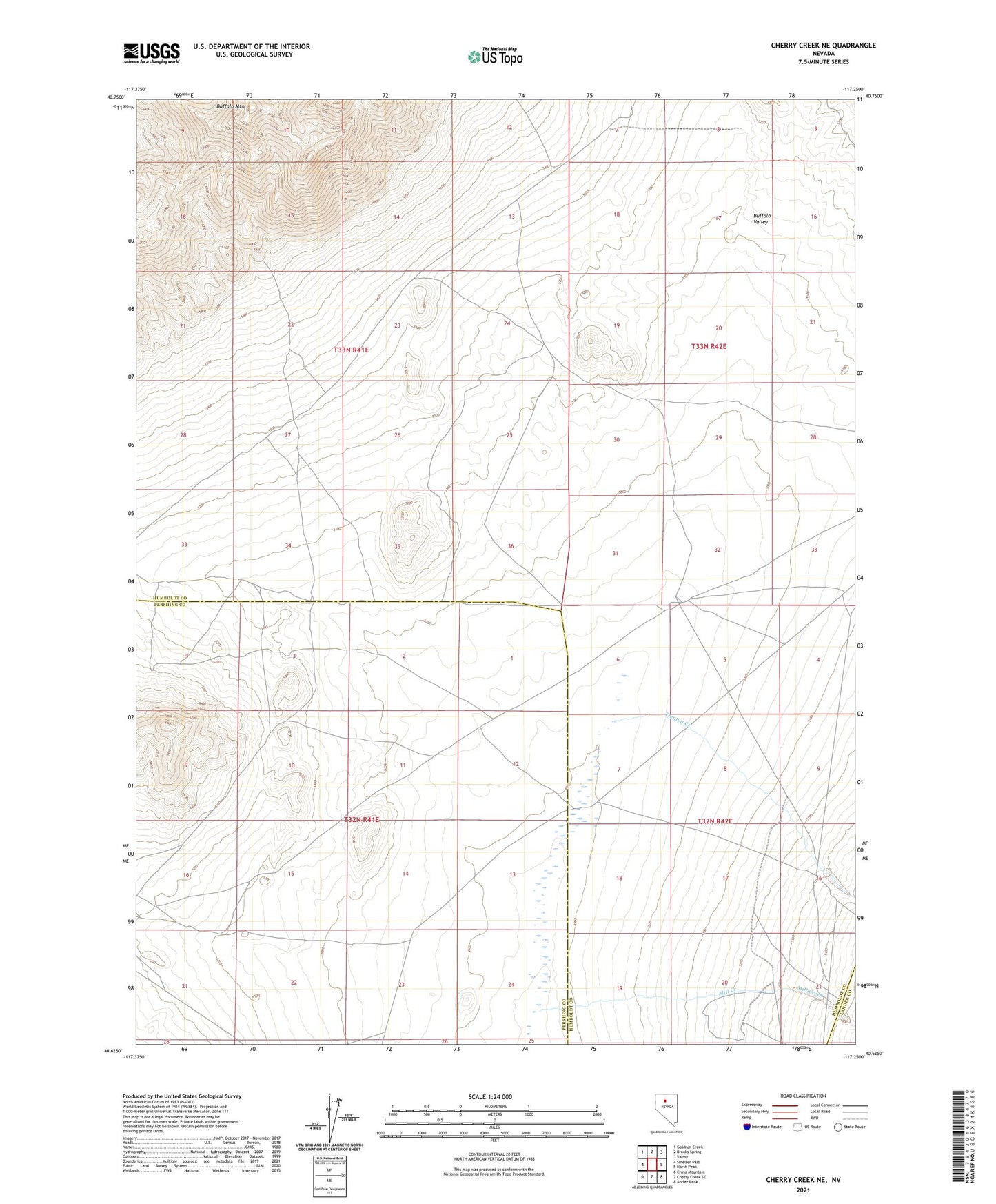
2021 topographic map quadrangle Cherry Creek NE in the state of Nevada. Scale: 1:24000. Based on the newly updated USGS 7.5' US Topo map series, this map is in the following counties: Humboldt, Pershing, Lander. The map contains contour data, water features, and other items you are used to seeing on USGS maps, but also has updated roads and other features. This is the next generation of topographic maps. Printed on high-quality waterproof paper with UV fade-resistant inks.
Quads adjacent to this one:
West: Smelser Pass
Northwest: Goldrun Creek
North: Brooks Spring
Northeast: Valmy
East: North Peak
Southeast: Antler Peak
South: Cherry Creek SE
Southwest: China Mountain
This map covers the same area as the classic USGS quad with code o40117f3.
Contains the following named places: Buffalo Mountain, Mill Creek, Trenton Creek