MyTopo
Stewart Spring Nevada US Topo Map
Couldn't load pickup availability
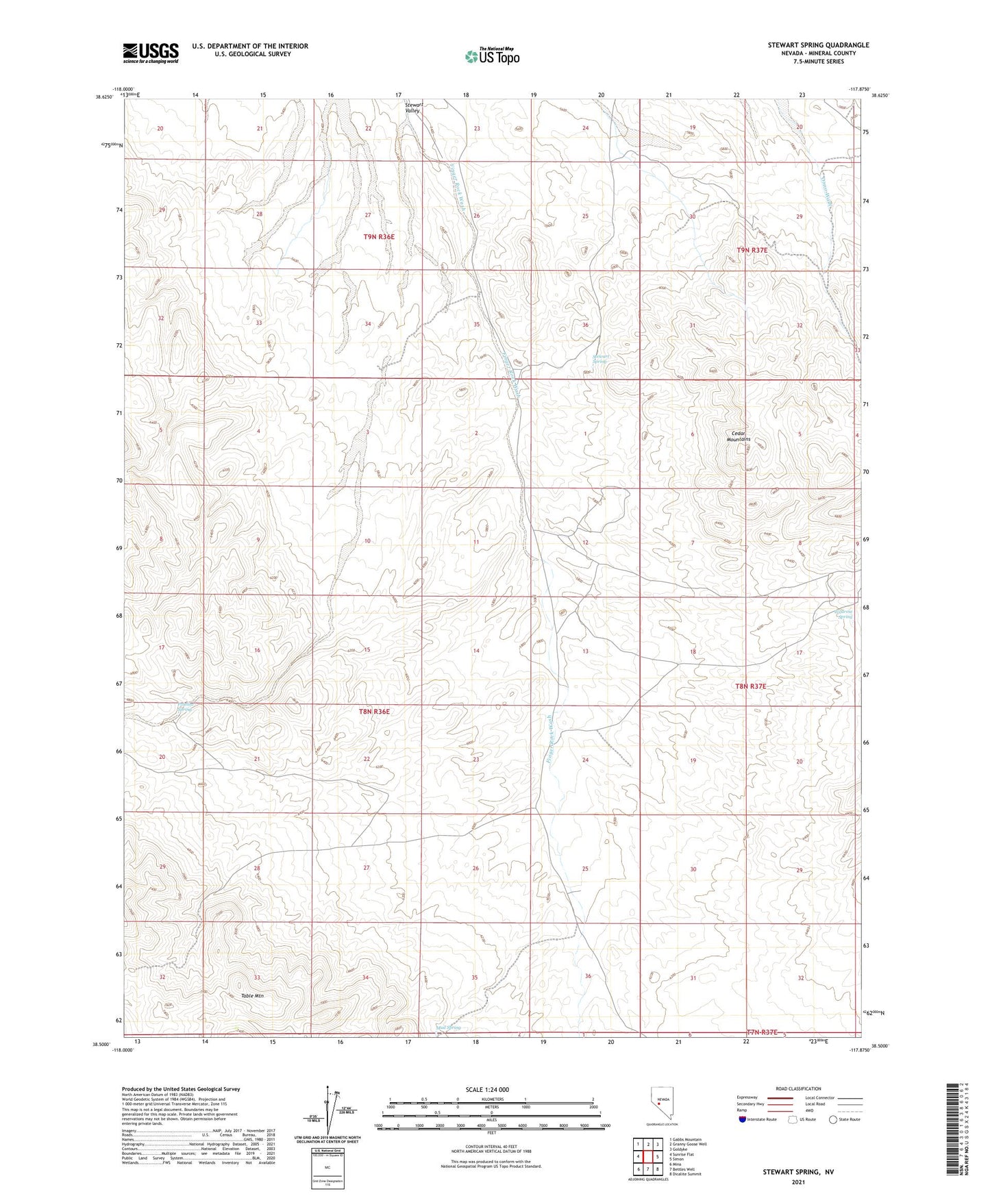
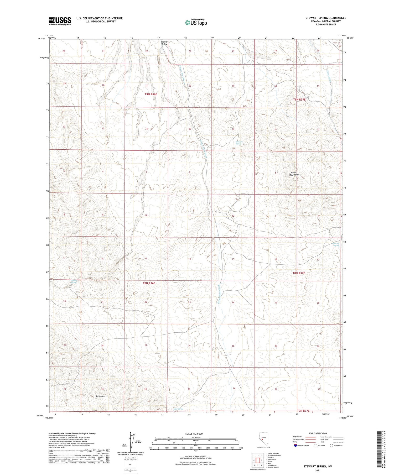
2021 topographic map quadrangle Stewart Spring in the state of Nevada. Scale: 1:24000. Based on the newly updated USGS 7.5' US Topo map series, this map is in the following counties: Mineral. The map contains contour data, water features, and other items you are used to seeing on USGS maps, but also has updated roads and other features. This is the next generation of topographic maps. Printed on high-quality waterproof paper with UV fade-resistant inks.
Quads adjacent to this one:
West: Sunrise Flat
Northwest: Gabbs Mountain
North: Granny Goose Well
Northeast: Goldyke
East: Simon
Southeast: Dicalite Summit
South: Bettles Well
Southwest: Mina
Contains the following named places: Black Cabin Well, Harvey Taylor Mine, Mina Gold Mines Companys Mine, Mud Spring, Omco, OMCO Mine, Omco Post Office, Poleline Spring, Simon Well, Stewart Spring, Wildrose Spring