MyTopo
Granny Goose Well Nevada US Topo Map
Couldn't load pickup availability
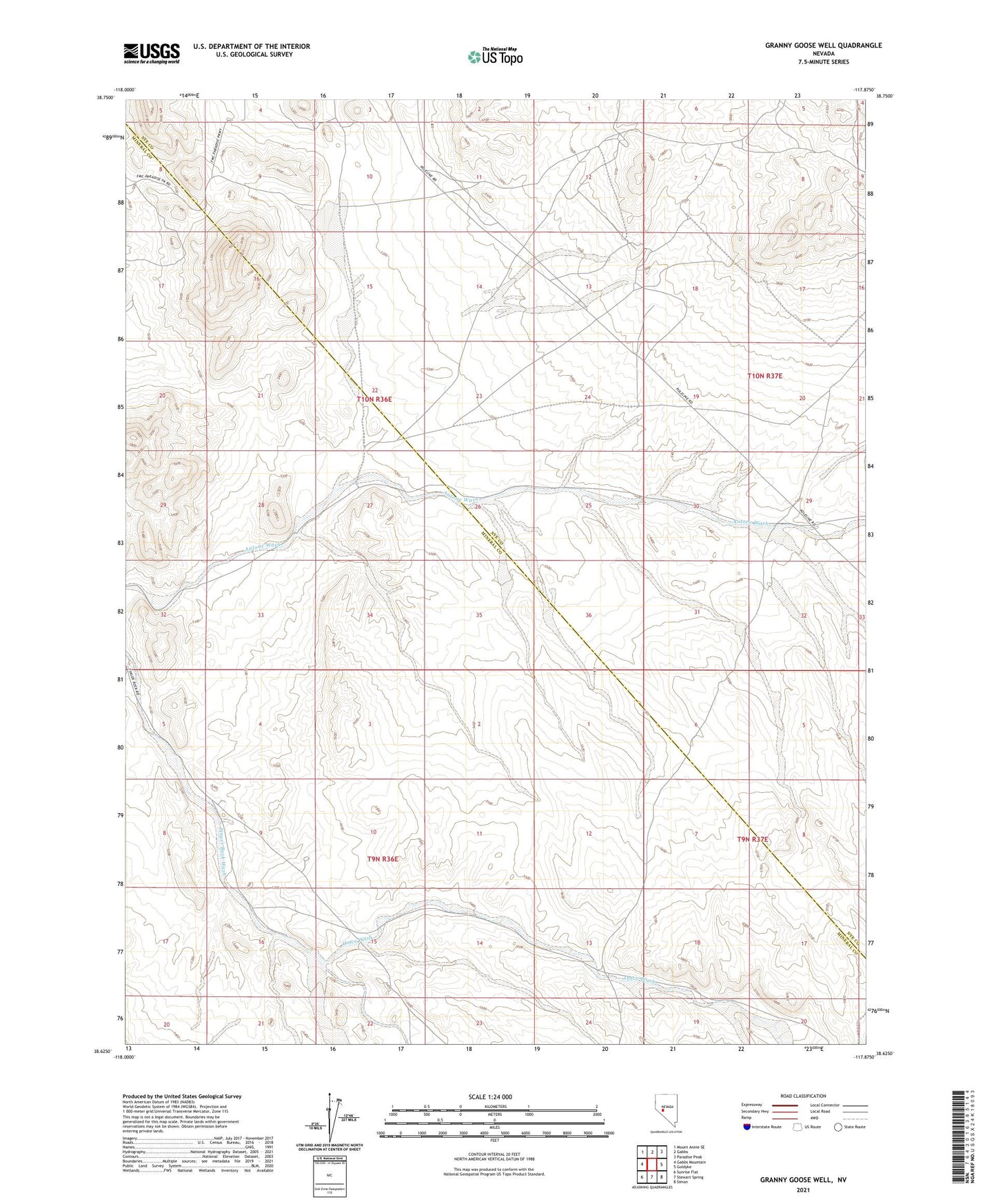
2021 topographic map quadrangle Granny Goose Well in the state of Nevada. Scale: 1:24000. Based on the newly updated USGS 7.5' US Topo map series, this map is in the following counties: Nye, Mineral. The map contains contour data, water features, and other items you are used to seeing on USGS maps, but also has updated roads and other features. This is the next generation of topographic maps. Printed on high-quality waterproof paper with UV fade-resistant inks.
Quads adjacent to this one:
West: Gabbs Mountain
Northwest: Mount Annie SE
North: Gabbs
Northeast: Paradise Peak
East: Goldyke
Southeast: Simon
South: Stewart Spring
Southwest: Sunrise Flat
This map covers the same area as the classic USGS quad with code o38117f8.
Contains the following named places: Antone Station, Antonio Well, Everett Mine, Finger Rock Station, Granny Goose Well, Indian Well, Omco Wash, Paradise Peak Mine, Rawhide Ranch