MyTopo
Goldyke Nevada US Topo Map
Couldn't load pickup availability
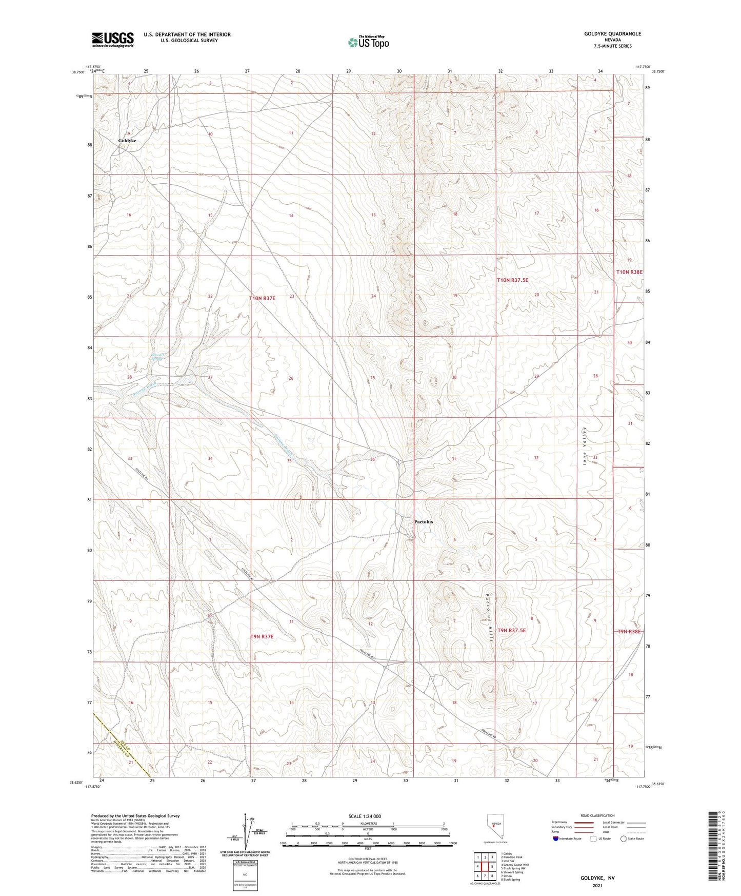
2021 topographic map quadrangle Goldyke in the state of Nevada. Scale: 1:24000. Based on the newly updated USGS 7.5' US Topo map series, this map is in the following counties: Nye, Mineral. The map contains contour data, water features, and other items you are used to seeing on USGS maps, but also has updated roads and other features. This is the next generation of topographic maps. Printed on high-quality waterproof paper with UV fade-resistant inks.
Quads adjacent to this one:
West: Granny Goose Well
Northwest: Gabbs
North: Paradise Peak
Northeast: Ione SW
East: Black Spring NW
Southeast: Black Spring
South: Simon
Southwest: Stewart Spring
This map covers the same area as the classic USGS quad with code o38117f7.
Contains the following named places: Atwood, Atwood Post Office, Goldyke, Goldyke Post Office, Goldyke Well, Pactolus, Pactolus Hills, Pactolus Mine, Pactolus Post Office, Stewart Spring