MyTopo
Summit Station Nevada US Topo Map
Couldn't load pickup availability
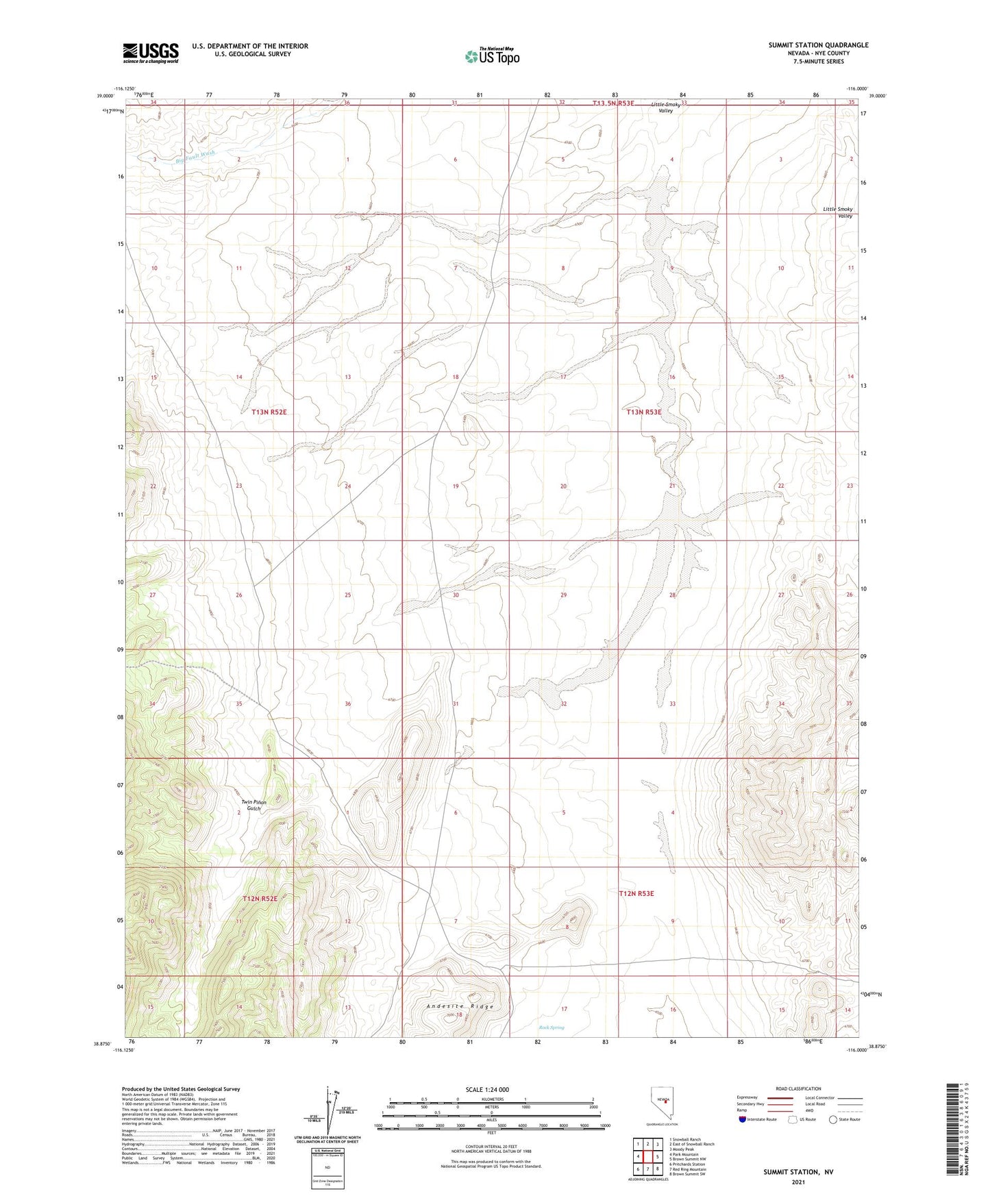
2021 topographic map quadrangle Summit Station in the state of Nevada. Scale: 1:24000. Based on the newly updated USGS 7.5' US Topo map series, this map is in the following counties: Nye. The map contains contour data, water features, and other items you are used to seeing on USGS maps, but also has updated roads and other features. This is the next generation of topographic maps. Printed on high-quality waterproof paper with UV fade-resistant inks.
Quads adjacent to this one:
West: Park Mountain
Northwest: Snowball Ranch
North: East of Snowball Ranch
Northeast: Moody Peak
East: Brown Summit NW
Southeast: Brown Summit SW
South: Red Ring Mountain
Southwest: Pritchards Station
Contains the following named places: Rock Spring, Summit Station, Twin Pinon Gulch