MyTopo
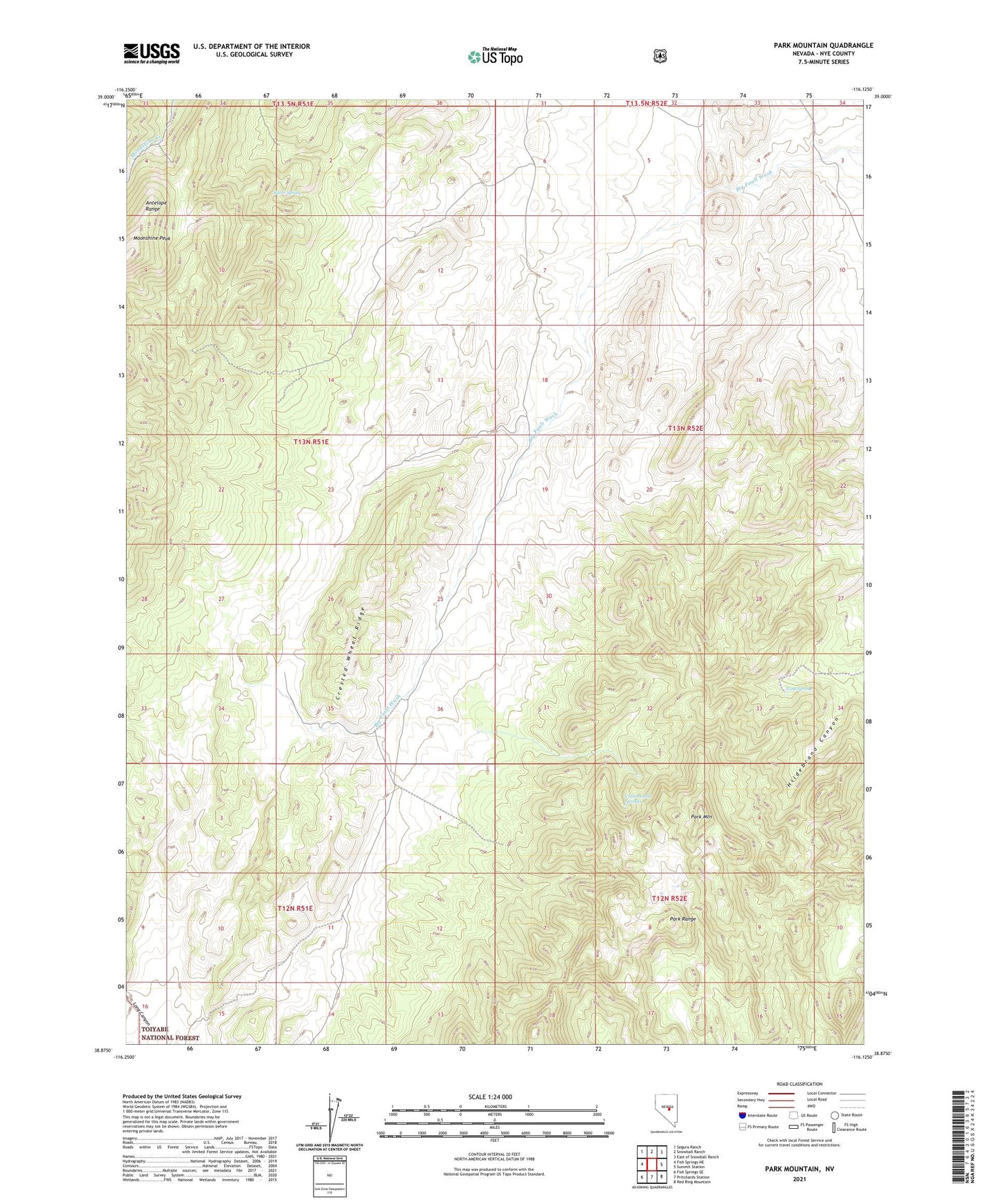
Park Mountain Nevada US Topo Map
Couldn't load pickup availability
Also explore the Park Mountain Forest Service Topo of this same quad for updated USFS data
2021 topographic map quadrangle Park Mountain in the state of Nevada. Scale: 1:24000. Based on the newly updated USGS 7.5' US Topo map series, this map is in the following counties: Nye. The map contains contour data, water features, and other items you are used to seeing on USGS maps, but also has updated roads and other features. This is the next generation of topographic maps. Printed on high-quality waterproof paper with UV fade-resistant inks.
Quads adjacent to this one:
West: Fish Springs NE
Northwest: Segura Ranch
North: Snowball Ranch
Northeast: East of Snowball Ranch
East: Summit Station
Southeast: Red Ring Mountain
South: Pritchards Station
Southwest: Fish Springs SE
This map covers the same area as the classic USGS quad with code o38116h2.
Contains the following named places: Cottonwood Springs, Crested Wheat Ridge, Hildebrand Canyon, Moonshine Peak, Park Mountain, Park Range, Silver Spring, Tank Spring