MyTopo
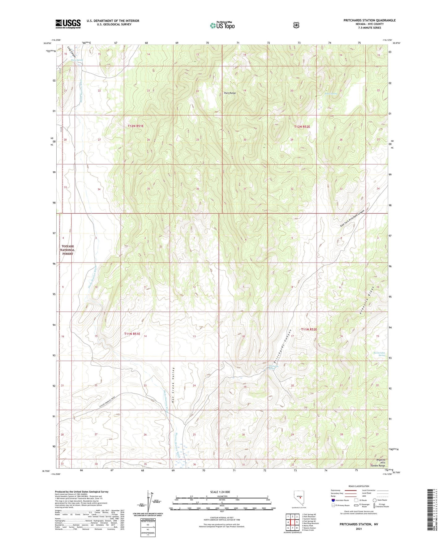
Pritchards Station Nevada US Topo Map
Couldn't load pickup availability
Also explore the Pritchards Station Forest Service Topo of this same quad for updated USFS data
2021 topographic map quadrangle Pritchards Station in the state of Nevada. Scale: 1:24000. Based on the newly updated USGS 7.5' US Topo map series, this map is in the following counties: Nye. The map contains contour data, water features, and other items you are used to seeing on USGS maps, but also has updated roads and other features. This is the next generation of topographic maps. Printed on high-quality waterproof paper with UV fade-resistant inks.
Quads adjacent to this one:
West: Fish Springs SE
Northwest: Fish Springs NE
North: Park Mountain
Northeast: Summit Station
East: Red Ring Mountain
Southeast: Chaos Creek
South: Moores Station
Southwest: Morey Peak
This map covers the same area as the classic USGS quad with code o38116g2.
Contains the following named places: Bassit Spring, Burnt Cabin Spring, East Fork Pritchard Canyon, Hicks Spring, Hicks Station, Hicks Station Wash, Long Canyon, Luther Waddles Wash, Prichard Post Office, Pritchards Canyon, Pritchards Station, Pritcherds Spring