MyTopo
Swales Mountain Nevada US Topo Map
Couldn't load pickup availability
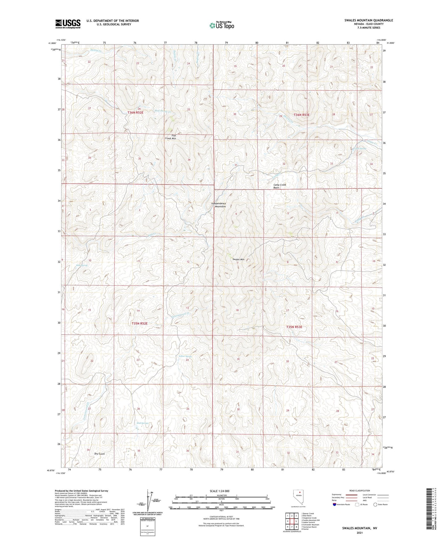
2021 topographic map quadrangle Swales Mountain in the state of Nevada. Scale: 1:24000. Based on the newly updated USGS 7.5' US Topo map series, this map is in the following counties: Elko. The map contains contour data, water features, and other items you are used to seeing on USGS maps, but also has updated roads and other features. This is the next generation of topographic maps. Printed on high-quality waterproof paper with UV fade-resistant inks.
Quads adjacent to this one:
West: Swales Mountain NW
Northwest: Beaver Creek
North: Blue Basin
Northeast: Singletree Creek
East: Adobe Summit
Southeast: Hunter
South: Huntsman Ranch
Southwest: Schroeder Mountain
This map covers the same area as the classic USGS quad with code o40116h1.
Contains the following named places: Camp Creek Basin, Carlin Drift Fence, Fish Creek Mountain, Louse Spring, Mine Spring, Mud Springs, Swales Mountain, USA Mine, USC Mine, Yellow Spring