MyTopo
Swales Mountain NW Nevada US Topo Map
Couldn't load pickup availability
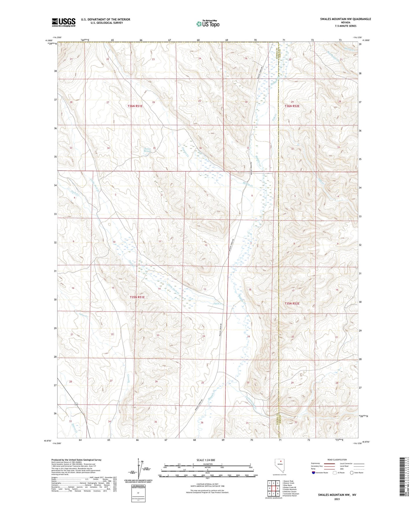
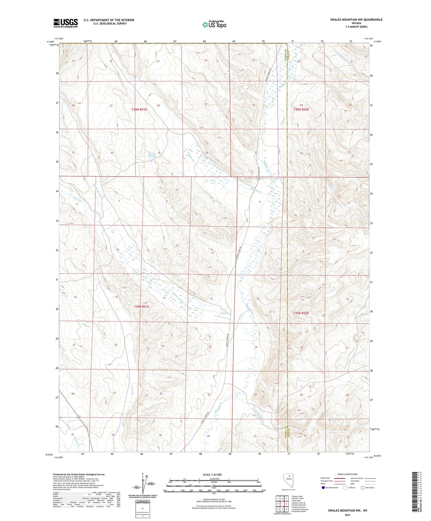
2021 topographic map quadrangle Swales Mountain NW in the state of Nevada. Scale: 1:24000. Based on the newly updated USGS 7.5' US Topo map series, this map is in the following counties: Eureka, Elko. The map contains contour data, water features, and other items you are used to seeing on USGS maps, but also has updated roads and other features. This is the next generation of topographic maps. Printed on high-quality waterproof paper with UV fade-resistant inks.
Quads adjacent to this one:
West: Rodeo Creek NE
Northwest: Beaver Peak
North: Beaver Creek
Northeast: Blue Basin
East: Swales Mountain
Southeast: Huntsman Ranch
South: Schroeder Mountain
Southwest: Welches Canyon
Contains the following named places: Chicken Springs, Cottonwood Creek, Coyote Creek, Coyote Ranch, Fish Creek, Indian Creek, Jack Creek, Little Jack Creek, Rebholtz Well Number One, Spring Creek