
MyTopo
Tierney Creek Nevada US Topo Map
Couldn't load pickup availability
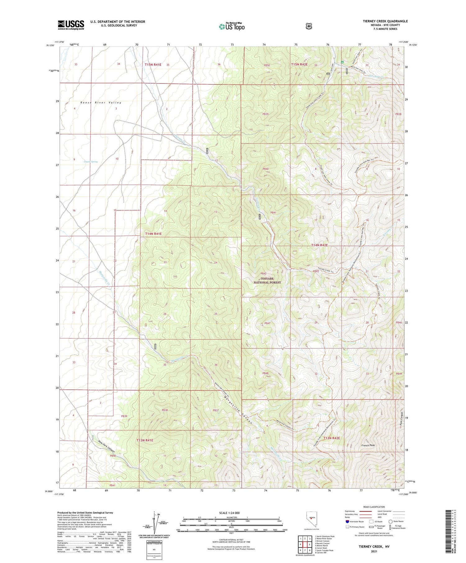
2021 topographic map quadrangle Tierney Creek in the state of Nevada. Scale: 1:24000. Based on the newly updated USGS 7.5' US Topo map series, this map is in the following counties: Nye. The map contains contour data, water features, and other items you are used to seeing on USGS maps, but also has updated roads and other features. This is the next generation of topographic maps. Printed on high-quality waterproof paper with UV fade-resistant inks.
Quads adjacent to this one:
West: Barrett Canyon
Northwest: North Shoshone Peak
North: Reese River Butte
Northeast: Brewer Canyon
East: Millett Ranch
Southeast: Carvers NW
South: South Toiyabe Peak
Southwest: Corral Wash
Contains the following named places: Coyote Spring, French Peak, Marysville Canyon, New York Canyon, San Juan Forest Service Facility


