MyTopo
Trego Nevada US Topo Map
Couldn't load pickup availability
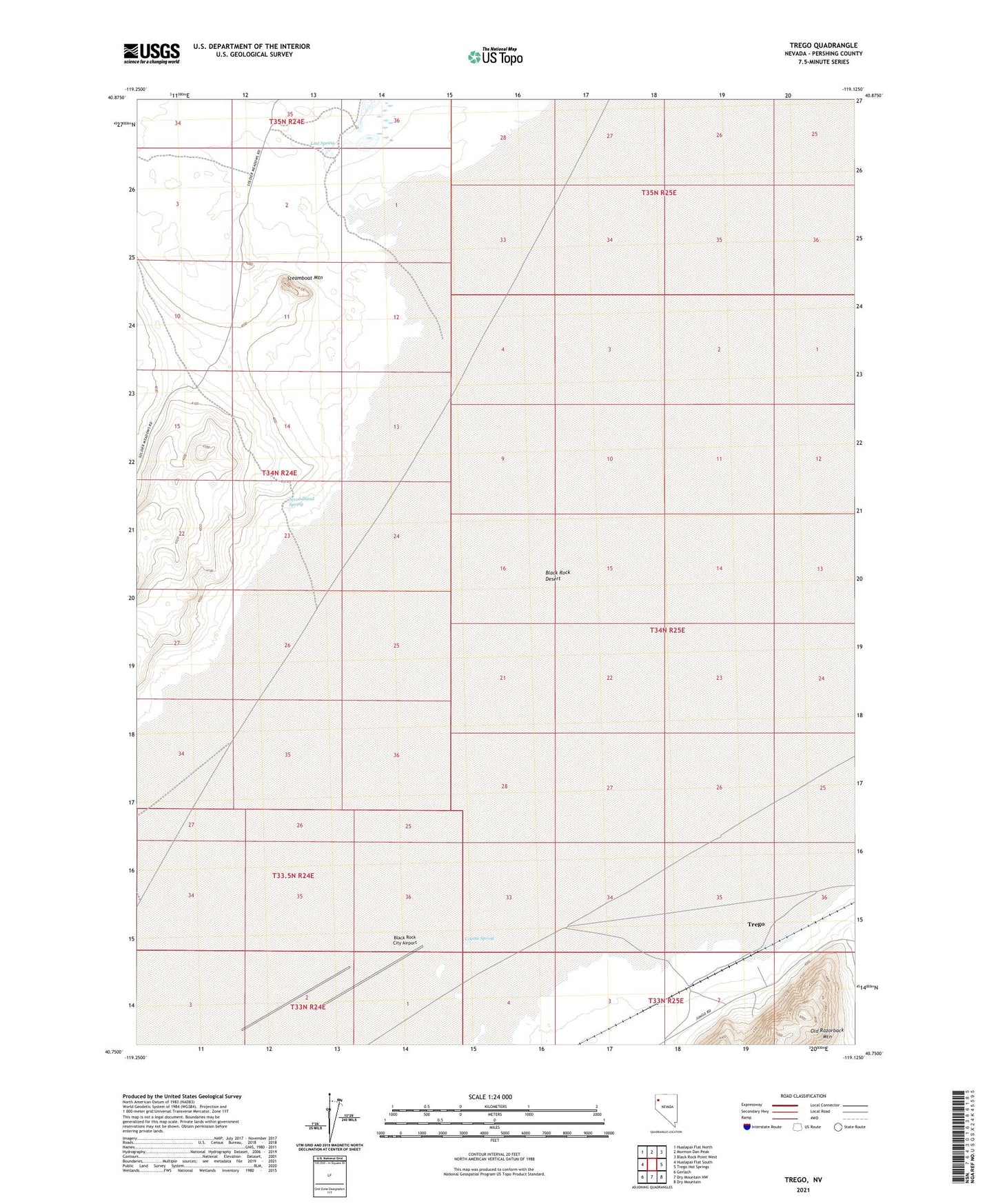
2021 topographic map quadrangle Trego in the state of Nevada. Scale: 1:24000. Based on the newly updated USGS 7.5' US Topo map series, this map is in the following counties: Pershing. The map contains contour data, water features, and other items you are used to seeing on USGS maps, but also has updated roads and other features. This is the next generation of topographic maps. Printed on high-quality waterproof paper with UV fade-resistant inks.
Quads adjacent to this one:
West: Hualapai Flat South
Northwest: Hualapai Flat North
North: Mormon Dan Peak
Northeast: Black Rock Point West
East: Trego Hot Springs
Southeast: Dry Mountain
South: Dry Mountain NW
Southwest: Gerlach
This map covers the same area as the classic USGS quad with code o40119g2.
Contains the following named places: Black Rock City Airport, Cassidy Mine, Coyote Spring, Lost Spring, Secondhand Spring, Steamboat Mountain, Trego