MyTopo
Frazier Creek Nevada US Topo Map
Couldn't load pickup availability
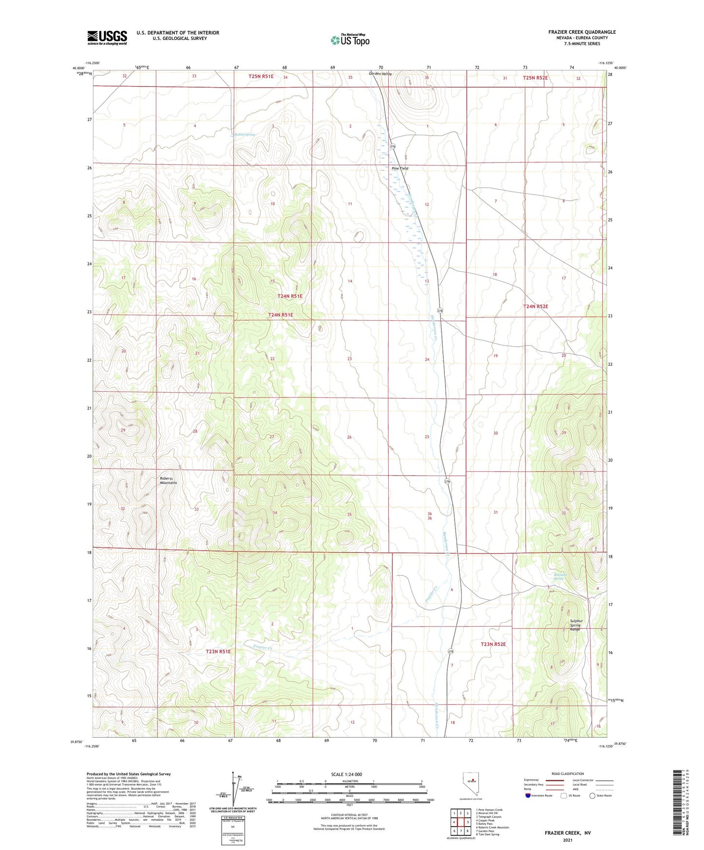
2021 topographic map quadrangle Frazier Creek in the state of Nevada. Scale: 1:24000. Based on the newly updated USGS 7.5' US Topo map series, this map is in the following counties: Eureka. The map contains contour data, water features, and other items you are used to seeing on USGS maps, but also has updated roads and other features. This is the next generation of topographic maps. Printed on high-quality waterproof paper with UV fade-resistant inks.
Quads adjacent to this one:
West: Cooper Peak
Northwest: Pete Hanson Creek
North: Mineral Hill SW
Northeast: Telegraph Canyon
East: Bailey Pass
Southeast: Tule Dam Spring
South: Garden Pass
Southwest: Roberts Creek Mountain
This map covers the same area as the classic USGS quad with code o39116h2.
Contains the following named places: Cedar, Frazier Creek, McCloud Spring, Oak, Pine Field, Pine Station, Pine Station Post Office, Rabbit Spring, White, White Post Office