MyTopo
Tule Valley Nevada US Topo Map
Couldn't load pickup availability
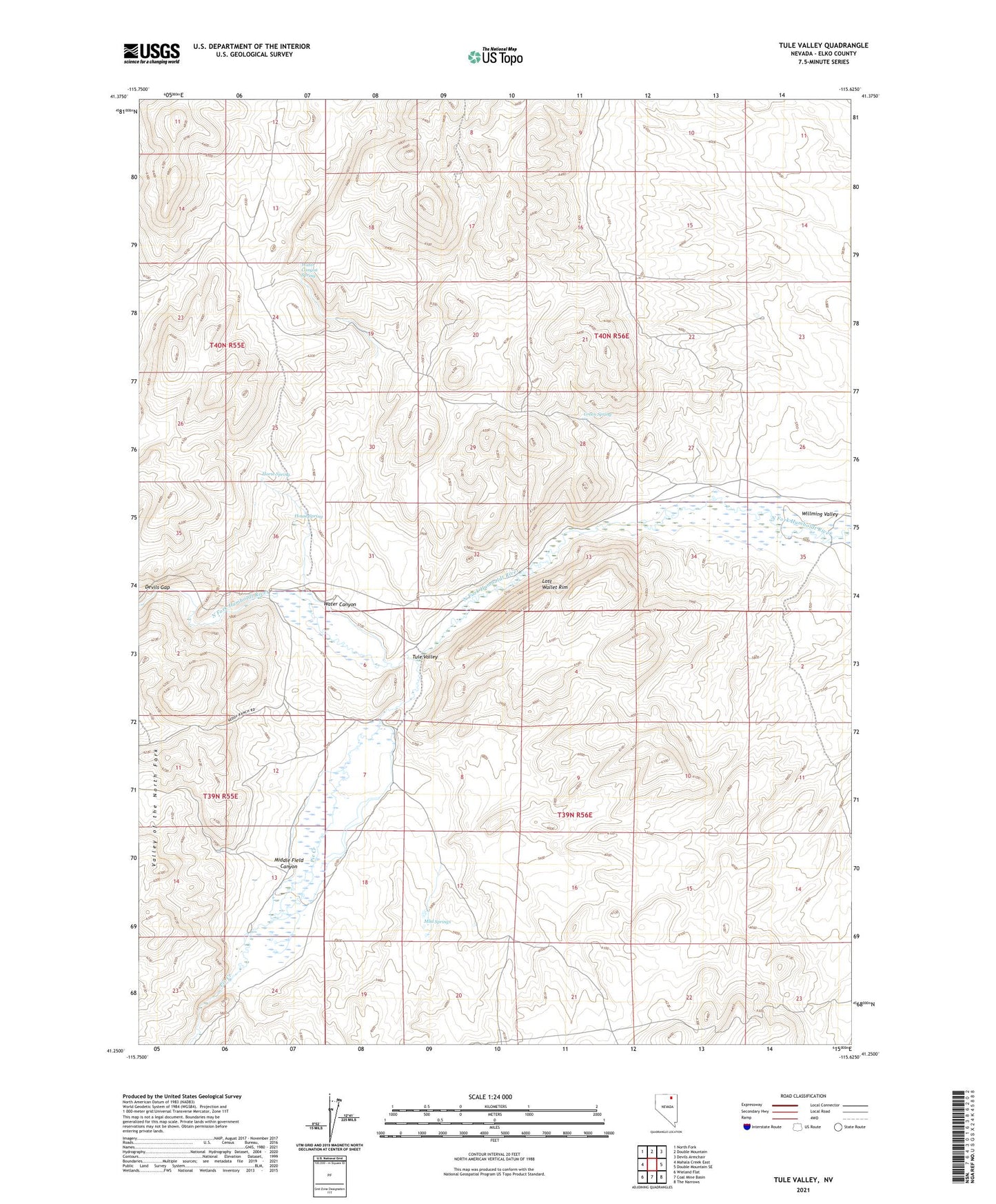
2021 topographic map quadrangle Tule Valley in the state of Nevada. Scale: 1:24000. Based on the newly updated USGS 7.5' US Topo map series, this map is in the following counties: Elko. The map contains contour data, water features, and other items you are used to seeing on USGS maps, but also has updated roads and other features. This is the next generation of topographic maps. Printed on high-quality waterproof paper with UV fade-resistant inks.
Quads adjacent to this one:
West: Mahala Creek East
Northwest: North Fork
North: Double Mountain
Northeast: Devils Armchair
East: Double Mountain SE
Southeast: The Narrows
South: Coal Mine Basin
Southwest: Wieland Flat
This map covers the same area as the classic USGS quad with code o41115c6.
Contains the following named places: Contant Ranch, Devils Gap, Green Spring, Horse Spring, House Spring, Keddy Ranch, Lost Wallet Rim, Middle Field Canyon, Mud Springs, Pie Creek, Tule Ranch, Tule Valley, Upper Tule Ranch, Water Canyon, Water Canyon Spring, Whitaker Dam Site, Willming Valley