
MyTopo
Vigus Butte NE Nevada US Topo Map
Couldn't load pickup availability
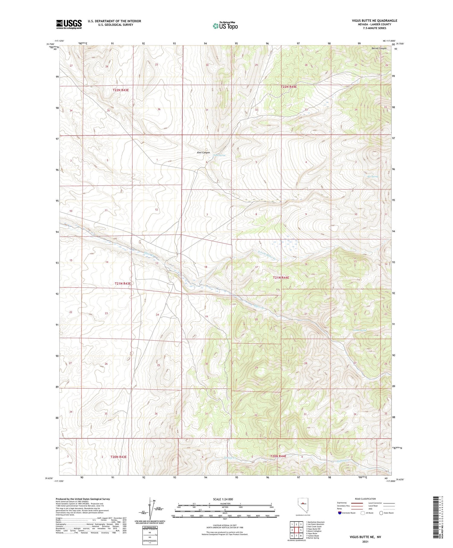
2021 topographic map quadrangle Vigus Butte NE in the state of Nevada. Scale: 1:24000. Based on the newly updated USGS 7.5' US Topo map series, this map is in the following counties: Lander. The map contains contour data, water features, and other items you are used to seeing on USGS maps, but also has updated roads and other features. This is the next generation of topographic maps. Printed on high-quality waterproof paper with UV fade-resistant inks.
Quads adjacent to this one:
West: Vigus Butte NW
Northwest: Manhattan Mountain
North: Joe Eason Mountain
Northeast: Hall Creek South
East: Mount Callaghan
Southeast: Barton Spring
South: Yankee Blade
Southwest: Vigus Butte
Contains the following named places: Alex Canyon, Alex Spring, Austin Division, Austin Township, Caton Ranch, China Spring, Cornin Spring, North Fork Italian Creek, North Fork Silver Creek, Silver Creek Ranch, Silver Creek School


