MyTopo
West of Lovelock Nevada US Topo Map
Couldn't load pickup availability
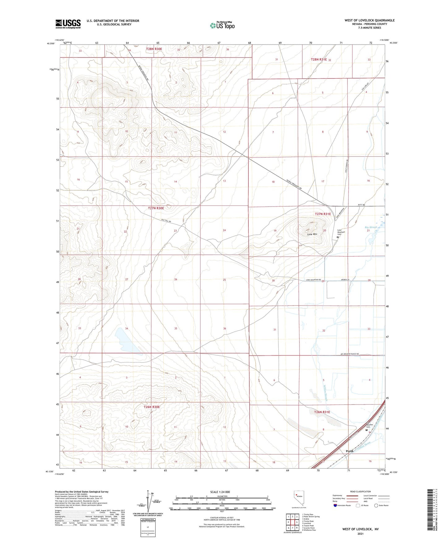
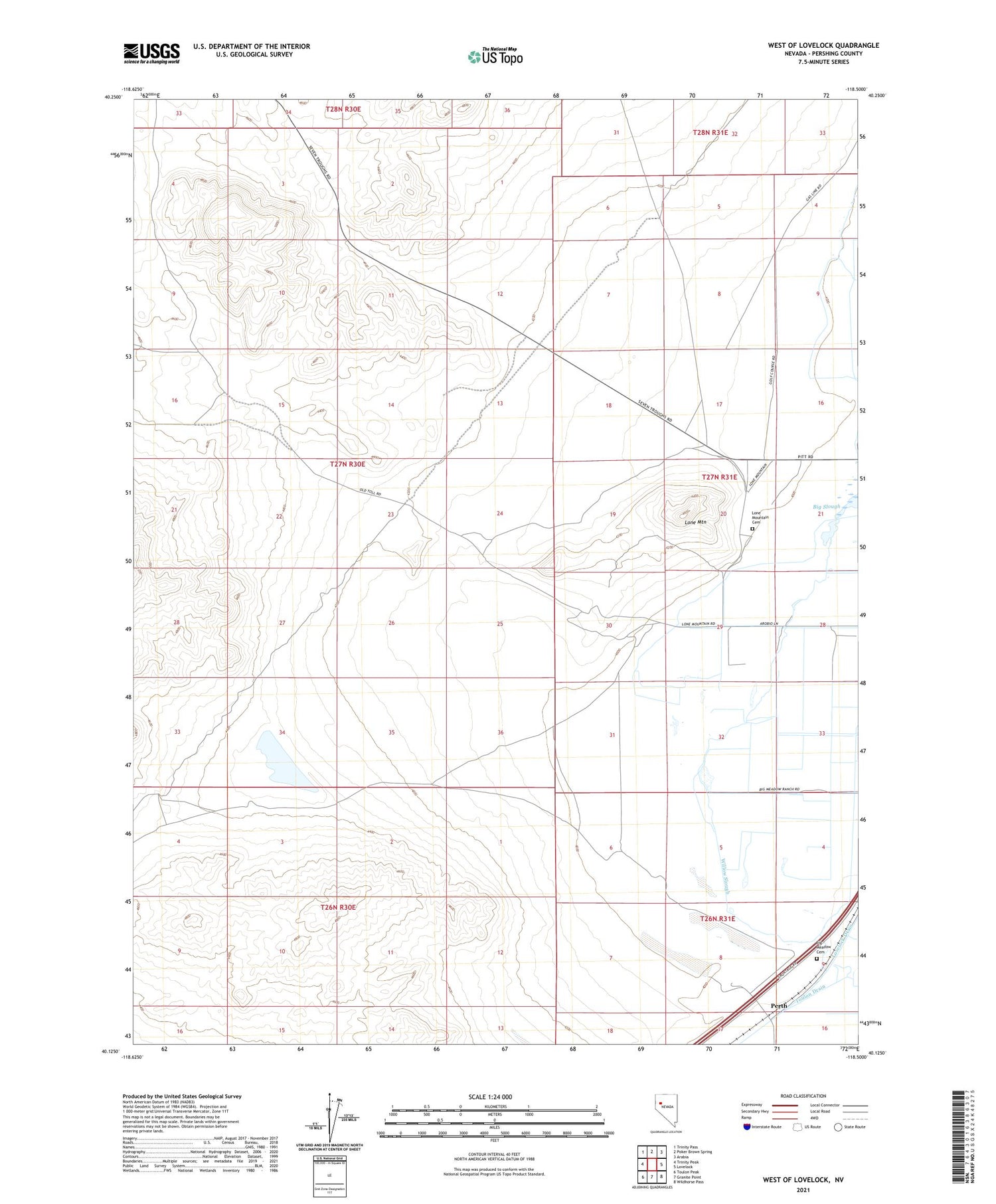
2021 topographic map quadrangle West of Lovelock in the state of Nevada. Scale: 1:24000. Based on the newly updated USGS 7.5' US Topo map series, this map is in the following counties: Pershing. The map contains contour data, water features, and other items you are used to seeing on USGS maps, but also has updated roads and other features. This is the next generation of topographic maps. Printed on high-quality waterproof paper with UV fade-resistant inks.
Quads adjacent to this one:
West: Trinity Peak
Northwest: Trinity Pass
North: Poker Brown Spring
Northeast: Arabia
East: Lovelock
Southeast: Wildhorse Pass
South: Granite Point
Southwest: Toulon Peak
Contains the following named places: Arobio Ranch, Belle Claims, Big Meadow Cemetery, Big Slough, Fairview Stage Station, Gold Butte Mining District, Lone Mountain, Lone Mountain Cemetery, Lovelock Division, Lower Taylor Ditch, Perth, Willow Slough