MyTopo
Wild Horse Basin Nevada US Topo Map
Couldn't load pickup availability
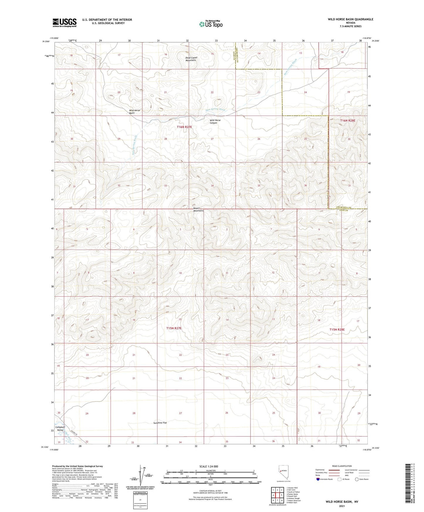
2021 topographic map quadrangle Wild Horse Basin in the state of Nevada. Scale: 1:24000. Based on the newly updated USGS 7.5' US Topo map series, this map is in the following counties: Lyon, Churchill. The map contains contour data, water features, and other items you are used to seeing on USGS maps, but also has updated roads and other features. This is the next generation of topographic maps. Printed on high-quality waterproof paper with UV fade-resistant inks.
Quads adjacent to this one:
West: Parker Butte
Northwest: Hooten Well
North: Salt Cave
Northeast: South of Fallon
East: Russell Spit
Southeast: Weber Dam
South: Weber Reservoir
Southwest: Hinkson Slough
This map covers the same area as the classic USGS quad with code o39118b8.
Contains the following named places: Wild Horse Basin, Wild Horse Canyon