MyTopo
South of Fallon Nevada US Topo Map
Couldn't load pickup availability
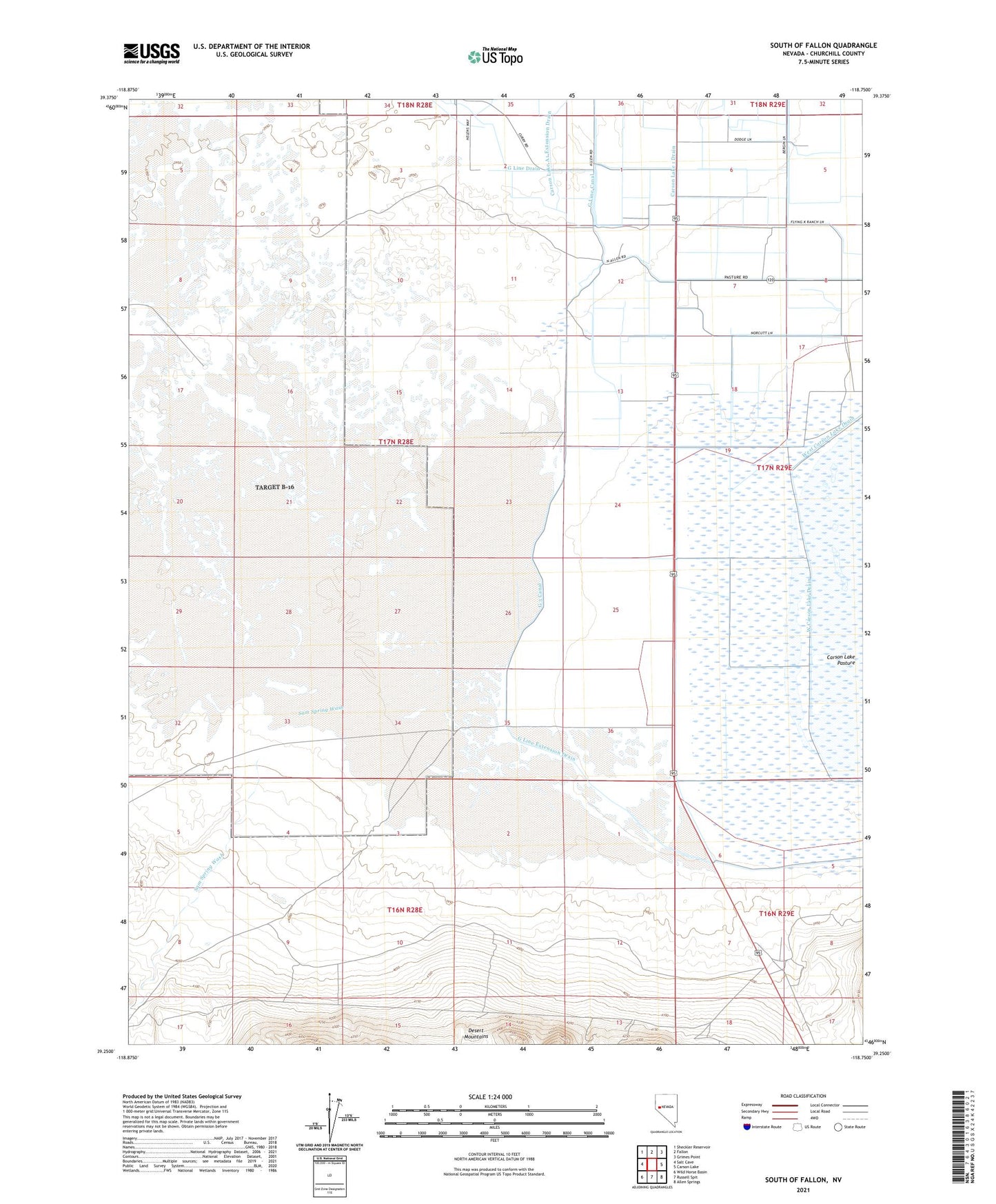
2021 topographic map quadrangle South of Fallon in the state of Nevada. Scale: 1:24000. Based on the newly updated USGS 7.5' US Topo map series, this map is in the following counties: Churchill. The map contains contour data, water features, and other items you are used to seeing on USGS maps, but also has updated roads and other features. This is the next generation of topographic maps. Printed on high-quality waterproof paper with UV fade-resistant inks.
Quads adjacent to this one:
West: Salt Cave
Northwest: Sheckler Reservoir
North: Fallon
Northeast: Grimes Point
East: Carson Lake
Southeast: Allen Springs
South: Russell Spit
Southwest: Wild Horse Basin
This map covers the same area as the classic USGS quad with code o39118c7.
Contains the following named places: Carson Lake 1 Drain, Carson Lake A1 Extension Drain, Carson Sink Station, Douglass, Fort Findley, G 3 Canal, G Line Canal, G Line Drain, G Line Extension Drain, Island School, Nineteen Mile Well, Pony Express Monument, Sam Spring Wash, Smith Ranch, Southwest Corral, West Carson Lake Drain, West Corral