MyTopo
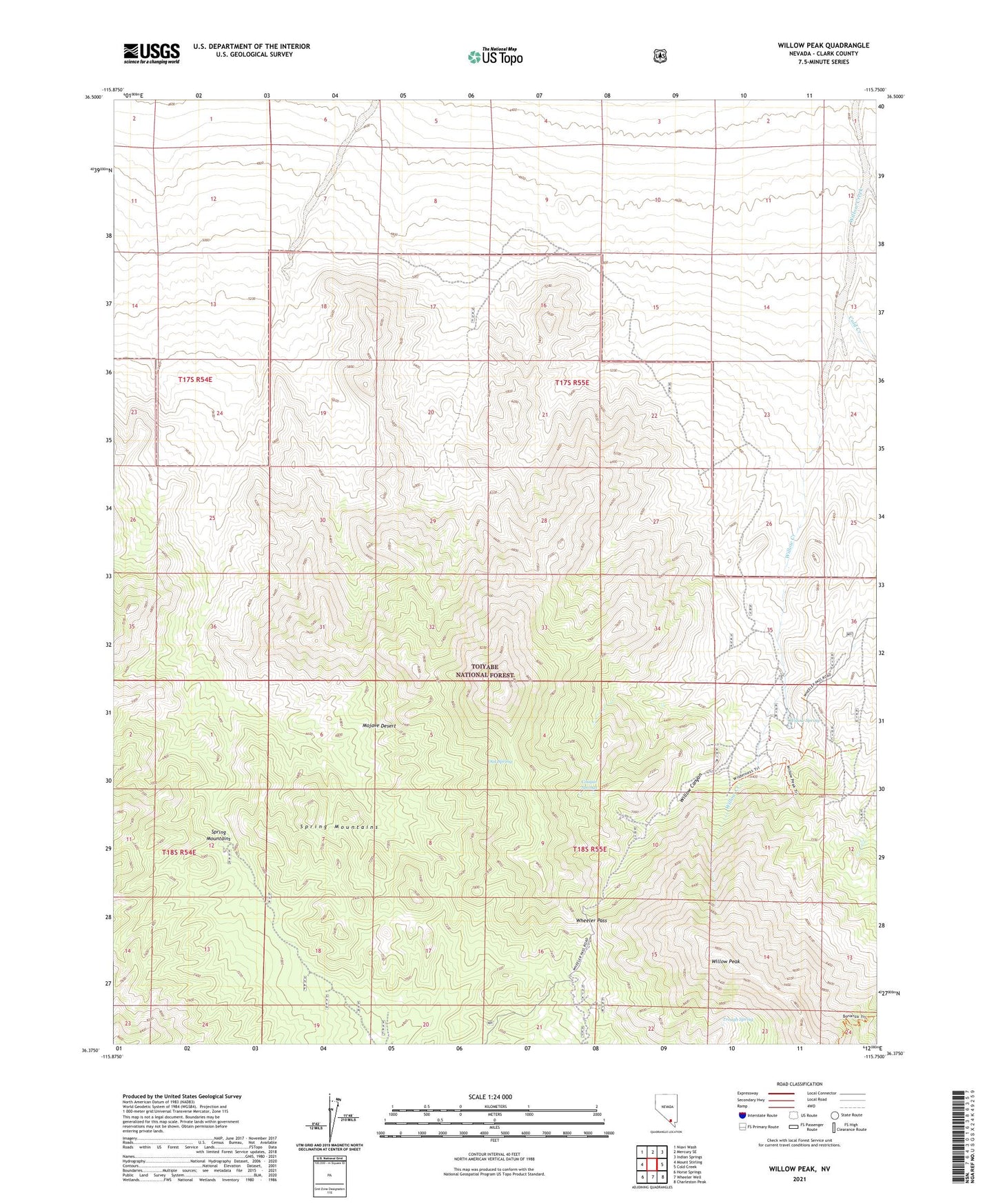
Willow Peak Nevada US Topo Map
Couldn't load pickup availability
Also explore the Willow Peak Forest Service Topo of this same quad for updated USFS data
2021 topographic map quadrangle Willow Peak in the state of Nevada. Scale: 1:24000. Based on the newly updated USGS 7.5' US Topo map series, this map is in the following counties: Clark. The map contains contour data, water features, and other items you are used to seeing on USGS maps, but also has updated roads and other features. This is the next generation of topographic maps. Printed on high-quality waterproof paper with UV fade-resistant inks.
Quads adjacent to this one:
West: Mount Stirling
Northwest: Niavi Wash
East: Cold Creek
Southeast: Charleston Peak
South: Wheeler Well
Southwest: Horse Springs
This map covers the same area as the classic USGS quad with code o36115d7.
Contains the following named places: Clarks Saw Mill, Cold Creek, Cougar Springs, Oak Spring, Trough Spring, Wheeler Pass, Willow Canyon, Willow Creek Campground, Willow Peak, Willow Spring