MyTopo
Yerington NE Nevada US Topo Map
Couldn't load pickup availability
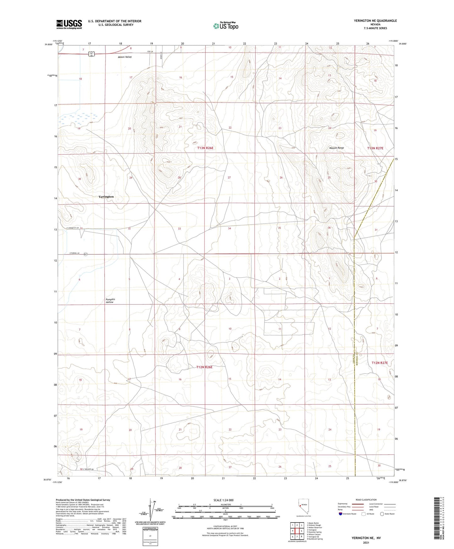
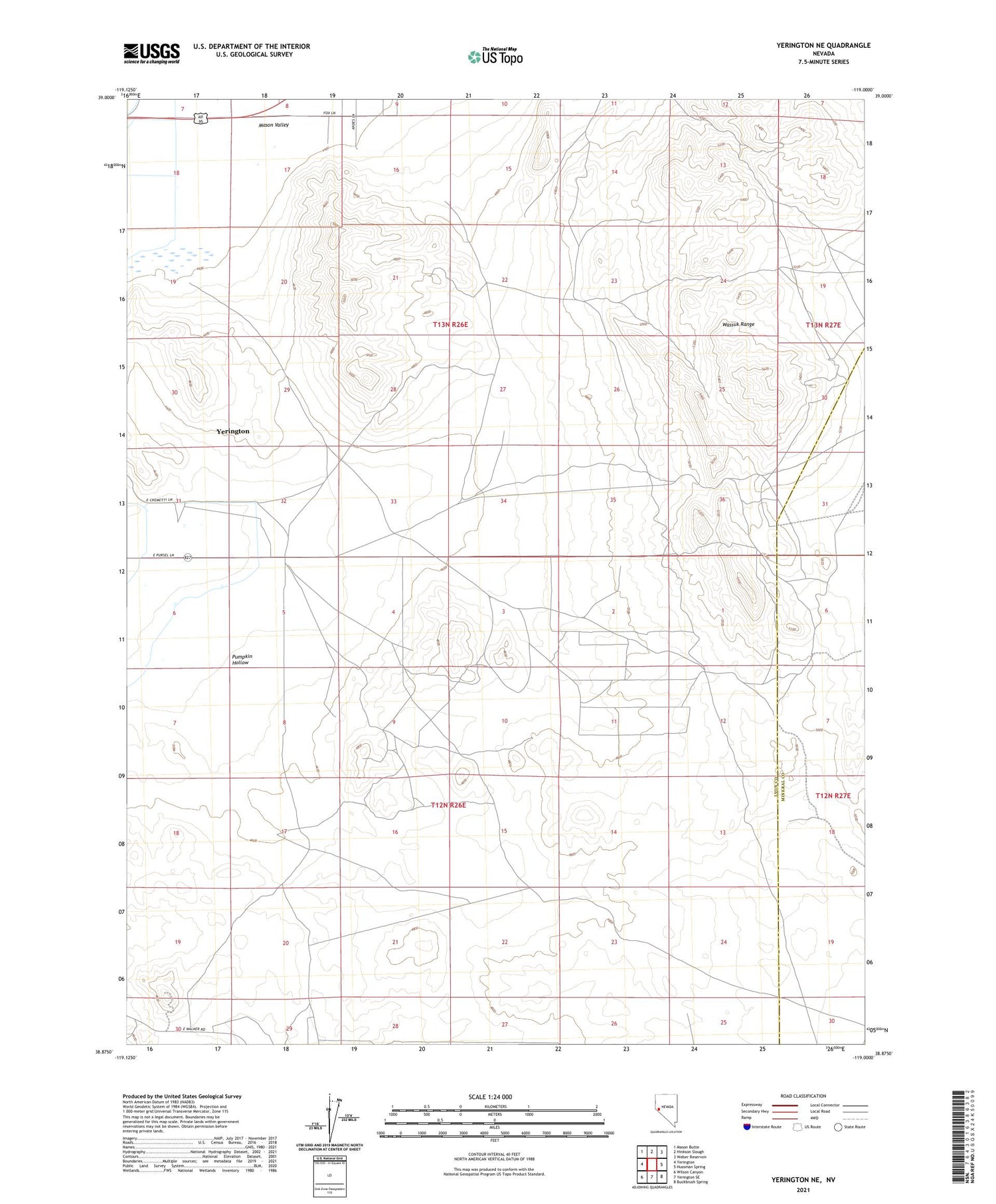
2021 topographic map quadrangle Yerington NE in the state of Nevada. Scale: 1:24000. Based on the newly updated USGS 7.5' US Topo map series, this map is in the following counties: Lyon, Mineral. The map contains contour data, water features, and other items you are used to seeing on USGS maps, but also has updated roads and other features. This is the next generation of topographic maps. Printed on high-quality waterproof paper with UV fade-resistant inks.
Quads adjacent to this one:
West: Yerington
Northwest: Mason Butte
North: Hinkson Slough
Northeast: Weber Reservoir
East: Hussman Spring
Southeast: Buckbrush Spring
South: Yerington SE
Southwest: Wilson Canyon
Contains the following named places: Blue Jay Mine, City of Yerington, Copper Ridge Mine, Perry Buckeye Extension Fence, Perry Buckeye Fence, Pumpkin Hollow, Regan Mine, Yerington Division