MyTopo
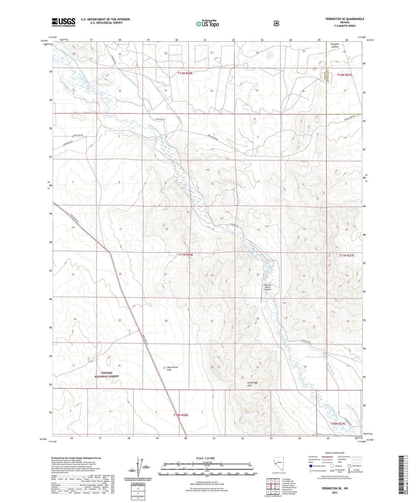
Yerington SE Nevada US Topo Map
Couldn't load pickup availability
Also explore the Yerington SE Forest Service Topo of this same quad for updated USFS data
2021 topographic map quadrangle Yerington SE in the state of Nevada. Scale: 1:24000. Based on the newly updated USGS 7.5' US Topo map series, this map is in the following counties: Lyon, Mineral. The map contains contour data, water features, and other items you are used to seeing on USGS maps, but also has updated roads and other features. This is the next generation of topographic maps. Printed on high-quality waterproof paper with UV fade-resistant inks.
Quads adjacent to this one:
West: Wilson Canyon
Northwest: Yerington
North: Yerington NE
Northeast: Hussman Spring
East: Buckbrush Spring
Southeast: Butler Mountain
South: Pine Grove Spring
Southwest: Mount Etna
This map covers the same area as the classic USGS quad with code o38119g1.
Contains the following named places: Cambridge Hills, Lantana Ranch Airport, Lower Charlebois Ditch, Missouri Flat Extension Fence, Strosnider East Ditch, Strosnider Ranch, Strosnider West Ditch, Upper Charlebois Ditch, Wheeler Flat Drift Fence