MyTopo
Milan New Hampshire US Topo Map
Couldn't load pickup availability
Also explore the Milan Forest Service Topo of this same quad for updated USFS data
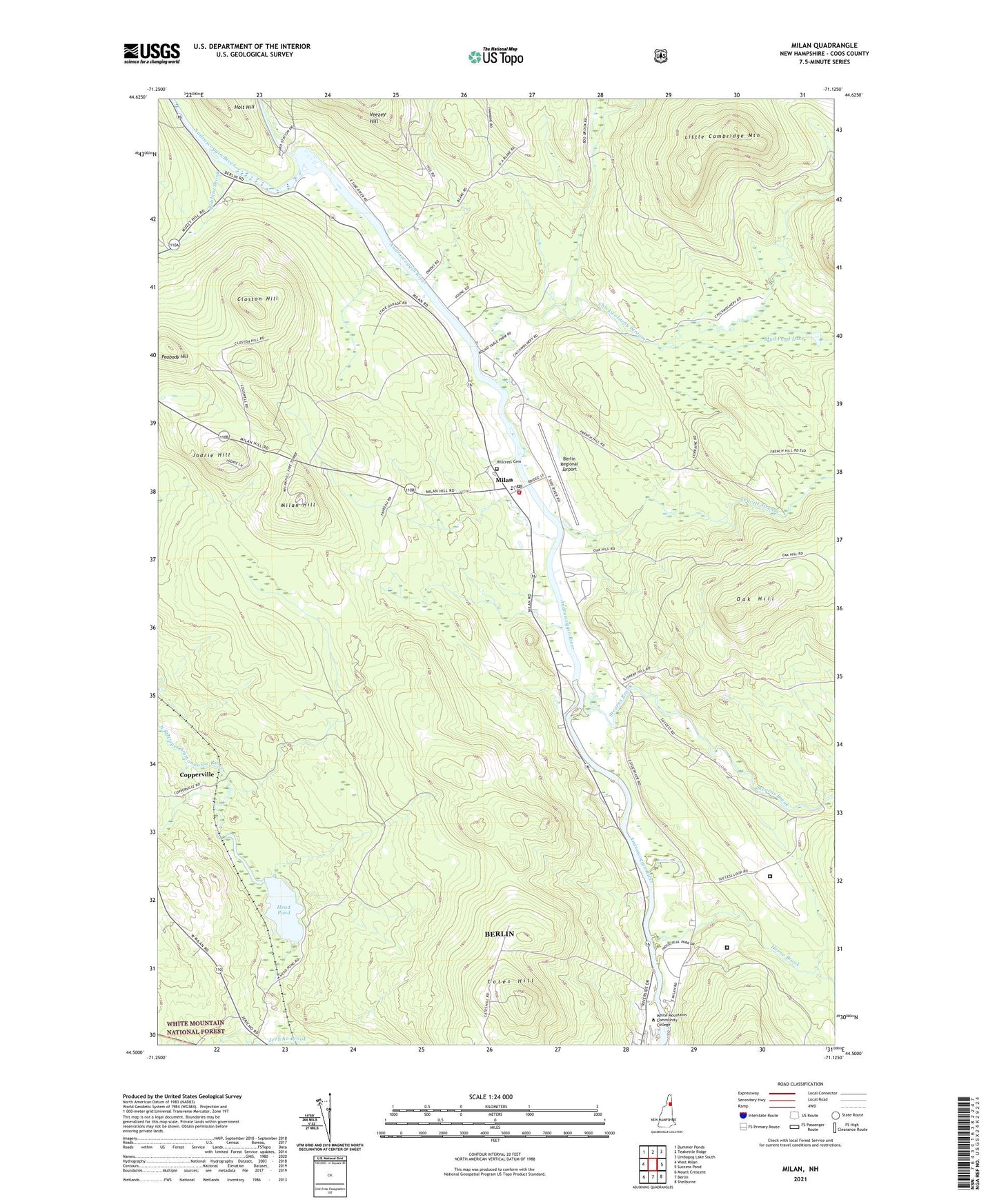
2024 topographic map quadrangle Milan in the state of New Hampshire. Scale: 1:24000. Based on the newly updated USGS 7.5' US Topo map series, this map is in the following counties: Coos. The map contains contour data, water features, and other items you are used to seeing on USGS maps, but also has updated roads and other features. This is the next generation of topographic maps. Printed on high-quality waterproof paper with UV fade-resistant inks.
Quads adjacent to this one:
West: West Milan
Northwest: Dummer Ponds
North: Teakettle Ridge
Northeast: Umbagog Lake South
East: Success Pond
Southeast: Shelburne
South: Berlin
Southwest: Mount Crescent
This map covers the same area as the classic USGS quad with code o44071e2.
Contains the following named places: Berlin Regional Airport, Berlin Ski Jump, Cates Hill, Cates Hill School, Chickwolnepy Stream, Closton Hill, Copperville, Dummer, Dummer United Methodist Church, Federal Correctional Institution Berlin, Hamlin School, Head Pond, Hillcrest Cemetery, Horne Brook, Jewett School, Jodrie Hill, Leavitt Stream, Little Cambridge Mountain, Milan, Milan and Dummer Emergency Medical Services, Milan Fire Department, Milan Hill, Milan Hill School, Milan Hill State Park, Milan Police Department, Milan Post Office, Milan United Methodist Church, Milan Village Elementary School, Mud Pond Lake, Nansen Wayside Park, New Hampshire Community Technical College, Northern New Hampshire Correctional Facility, Oak Hill, Peabody Hill, Pontook School, Robbins Brook, Stearns Brook, Town of Milan, White Mountains Community College, Willis School, ZIP Codes: 03570, 03588