MyTopo
North Grantham New Hampshire US Topo Map
Couldn't load pickup availability
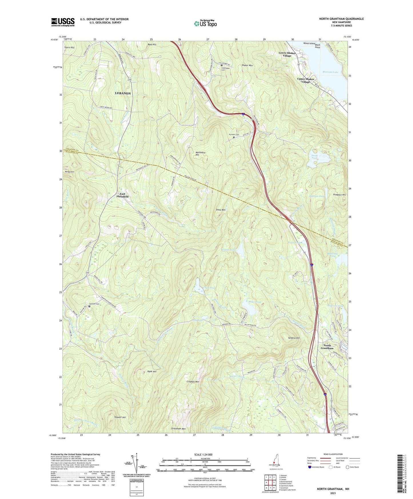
2021 topographic map quadrangle North Grantham in the state of New Hampshire. Scale: 1:24000. Based on the newly updated USGS 7.5' US Topo map series, this map is in the following counties: Sullivan, Grafton. The map contains contour data, water features, and other items you are used to seeing on USGS maps, but also has updated roads and other features. This is the next generation of topographic maps. Printed on high-quality waterproof paper with UV fade-resistant inks.
Quads adjacent to this one:
Northwest: Hanover
North: Enfield
Northeast: Canaan
East: Enfield Center
Southeast: Sunapee Lake North
South: Grantham
Southwest: Claremont North
Contains the following named places: Anderson Pond, Annie Duncan State Forest, Bass Hill, Black Point, Bradford Cove, Brooks Point, Butternut Brook, Butternut Pond, Butternut Pond Dam, Chase Pond, East Plainfield, Eastman Golf Link, Eastman Ski Area, Enfield Shaker Historic District, Gleason Cemetery, Grantham Mountain, Grass Pond, Halfmile Pond, Hough School, Hyde Hill, Know River, LaSalette SKi Touring Center, Leavitt Pond, Lily Pond, Lower Shaker Village, Methodist Hill, Methodist Hill School, Mill Pond, Millar Pond Dam, Miller Pond, Montcalm, Montcalm Hill, Montcalm School, Morgan Hill, North Branch Newton Brook, North Grantham, Point Comfort, Potato Hill School, Prospect Hill, Purmort, Purmort Cemetery, Sargent Hill, Shaker Mountain, Skinner Brook, Smith Pond, Snow Mountain, Stowell Hill, Town of Grantham, Upper Shaker Village, WNTK-FM (Lebanon), ZIP Codes: 03748, 03753