MyTopo
Weare New Hampshire US Topo Map
Couldn't load pickup availability
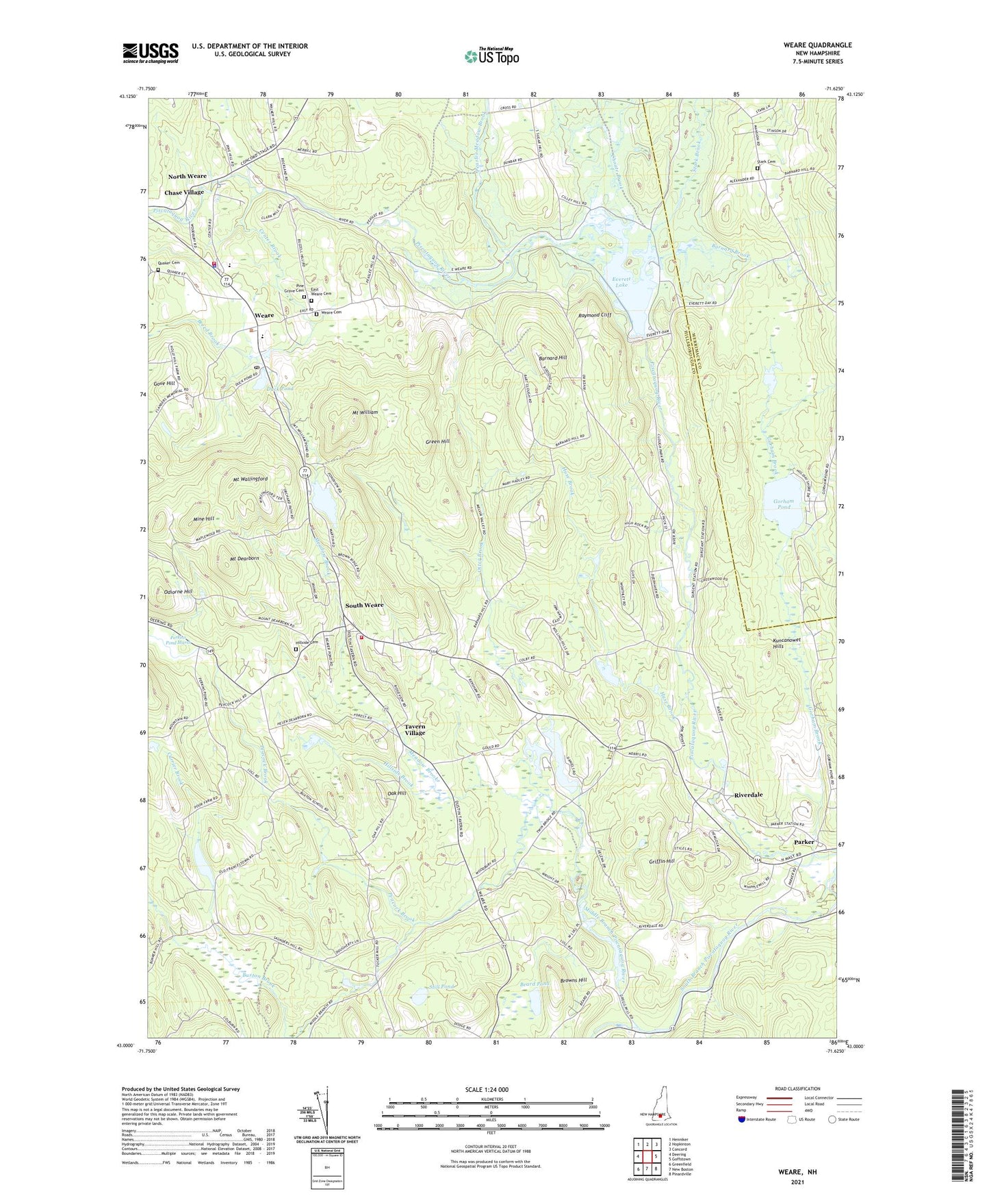
2024 topographic map quadrangle Weare in the state of New Hampshire. Scale: 1:24000. Based on the newly updated USGS 7.5' US Topo map series, this map is in the following counties: Hillsborough, Merrimack. The map contains contour data, water features, and other items you are used to seeing on USGS maps, but also has updated roads and other features. This is the next generation of topographic maps. Printed on high-quality waterproof paper with UV fade-resistant inks.
Quads adjacent to this one:
West: Deering
Northwest: Henniker
North: Hopkinton
Northeast: Concord
East: Goffstown
Southeast: Pinardville
South: New Boston
Southwest: Greenfield
This map covers the same area as the classic USGS quad with code o43071a6.
Contains the following named places: Barnard Brook, Barnard Hill, Beard Pond, Breed Brook, Browns Hill, Buxton Brook, Center Brook, Center Woods Elementary School, Choate Brook, Clough State Forest, Clough State Park, Currier Brook, Daniels Lake, Daniels Lake Dam, Duck Pond, East Weare, East Weare Cemetery, Everett, Everett Dam, Everett Lake, Fessenden, Gorham Brook, Gorham Pond, Gove Hill, Green Hill, Gregg Mill Pond, Gregg Mill Pond Dam, Griffin Hill, Hillside Brook, Hillside Cemetery, Hopkinton Everett Flood Control Area, Huse Brook, Kuncanowet Hills, Lee Field, Meadow Brook, Middle Branch Piscataquog River, Mine Hill, Mount Dearborn, Mount Wallingford, Mount William, Mount William Pond, North Weare, Oak Hill, Odiorne Hill, Otter Brook, Parker, Peacock Brook, Peacock Hill Campground, Peaslee Meadow Brook, Perkins Pond, Perkins Pond Dam, Perkins Pond Marsh, Pine Grove Cemetery, Quaker Cemetery, Quaker Church, Raymond Cliff, Riverdale, Rockland School, Sargent, Skypark Campground, South Weare, Stark Brook, Stark Cemetery, Stark Pond Wildlife Management Area, Still Pond, Tavern Village, Town of Weare, Trout Brook, Weare, Weare Bible Baptist Church, Weare Cemetery, Weare Fire Department South Station, Weare Fire Rescue Department, Weare Middle School, Weare Police Department, Weare Post Office, ZIP Code: 03281


