MyTopo
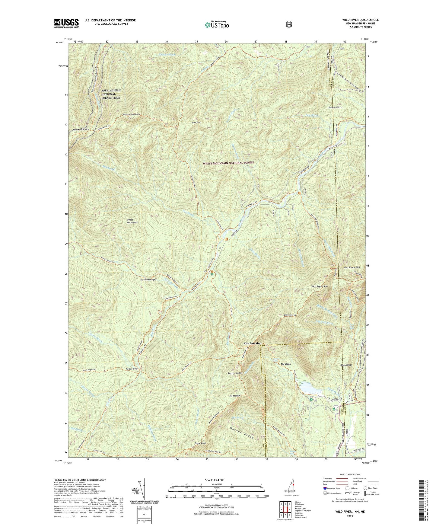
Wild River New Hampshire US Topo Map
Couldn't load pickup availability
Also explore the Wild River Forest Service Topo of this same quad for updated USFS data
2024 topographic map quadrangle Wild River in the states of New Hampshire, Maine. Scale: 1:24000. Based on the newly updated USGS 7.5' US Topo map series, this map is in the following counties: Coos, Oxford, Carroll. The map contains contour data, water features, and other items you are used to seeing on USGS maps, but also has updated roads and other features. This is the next generation of topographic maps. Printed on high-quality waterproof paper with UV fade-resistant inks.
Quads adjacent to this one:
West: Carter Dome
Northwest: Berlin
North: Shelburne
Northeast: Gilead
East: Speckled Mountain
Southeast: Center Lovell
South: Chatham
Southwest: Jackson
This map covers the same area as the classic USGS quad with code o44071c1.
Contains the following named places: Baldface Brook, Baldface Circle Trail, Basin Brook, Basin Brook Reservoir, Basin Campground and Picnic Area, Basin Pond Campground, Basin Rim Trail, Basin Trail, Beans Purchase, Bickford Brook, Birch Knoll, Blue Brook, Blue Brook Shelter, Brickett Falls, Brickett Place, Brickett Place Organization Camp, Bull Brook, Burnt Mill Brook, Burnt Mill Brook Trail, Carlton Notch, Cedar Brook, Cold River Campground, Cypress Brook, Dewdrop Brook, Eagle Crag, Eagle Link Trail, East Royce Mountain, East Royce Trail, Hermit Falls, Highwater Trail, Howe Peak, Kenduskeag Trail, Laughing Lion Trail, Mad River, Mad River Falls, Martins Brook, Meader Ridger Trail, Middle Branch Mad River, Middle Moriah Mountain, Moriah Brook, Moriah Brook Trail, Moriah George, Mount Meader, Mount Meader Trail, Pine Brook, Ragged Jacket, Rattle River Trail, Red Brook, Rim Junction, Royce Trail, Shelburne Moriah Mountain, Shelburne Trail, Site 1 Basin Brook Dam, South Branch Mad River, Spider Bridge, Spruce Brook, Spruce Brook Shelter, The Basin, Twin Brook, Walker Ridge, West Royce Mountain, Wild River Campground, Wild River Climatic Station, Wild River Trail, Wild River Wilderness


