MyTopo
Arroyo Cuervo New Mexico US Topo Map
Couldn't load pickup availability
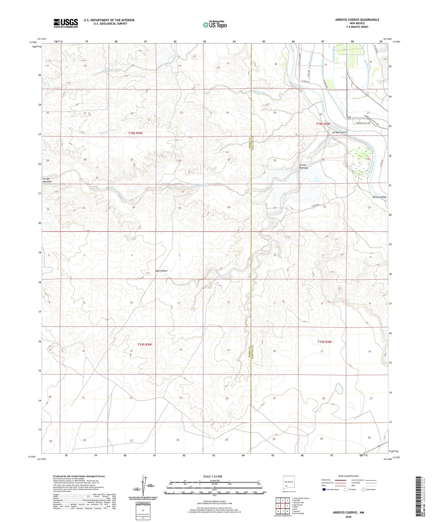
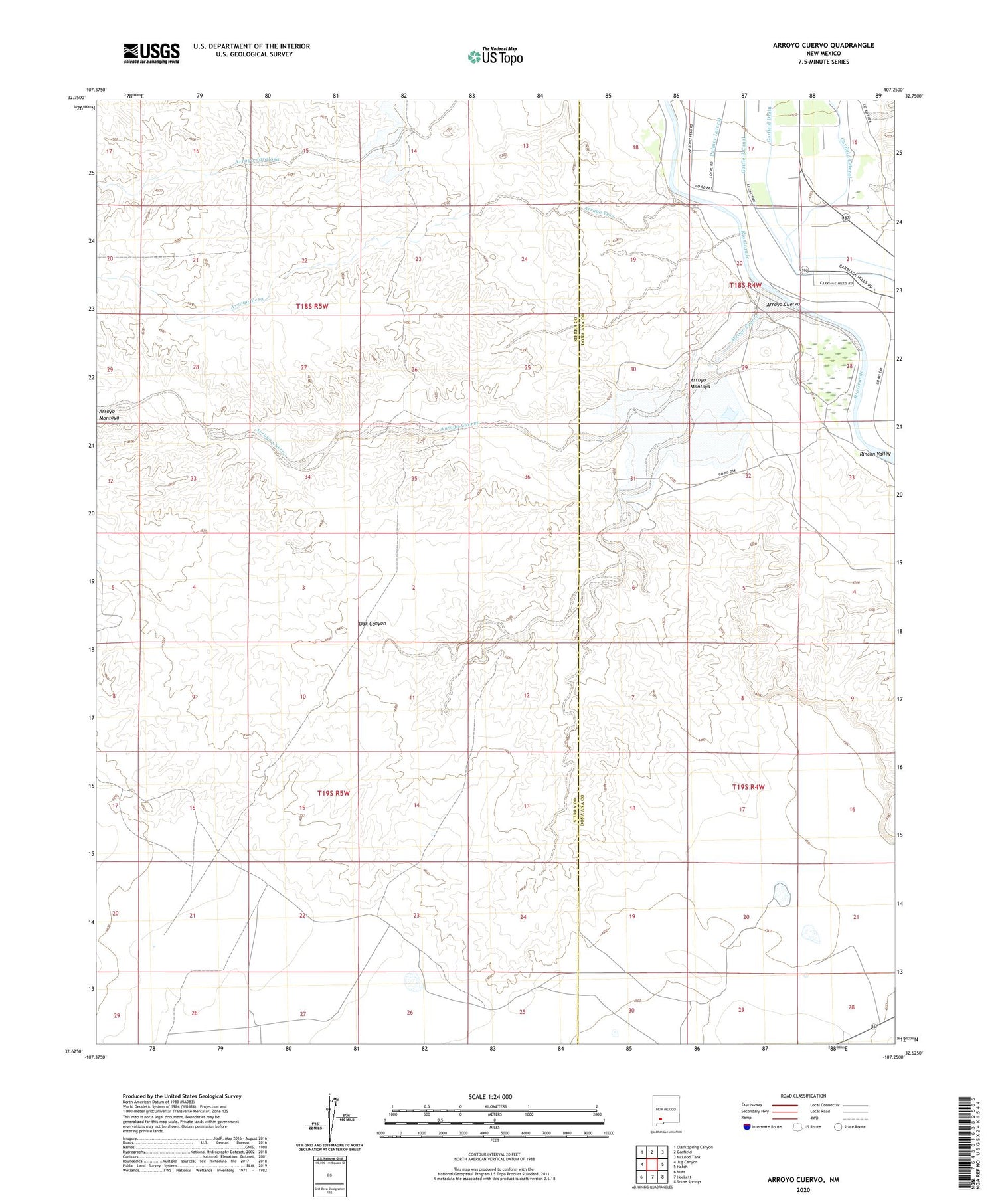
2020 topographic map quadrangle Arroyo Cuervo in the state of New Mexico. Scale: 1:24000. Based on the newly updated USGS 7.5' US Topo map series, this map is in the following counties: Sierra, Doña Ana. The map contains contour data, water features, and other items you are used to seeing on USGS maps, but also has updated roads and other features. This is the next generation of topographic maps. Printed on high-quality waterproof paper with UV fade-resistant inks.
Quads adjacent to this one:
West: Jug Canyon
Northwest: Clark Spring Canyon
North: Garfield
Northeast: McLeod Tank
East: Hatch
Southeast: Souse Springs
South: Hockett
Southwest: Nutt
Contains the following named places: AC-1 Water Well, Arroyo Cuervo, Arroyo Montoya, Arroyo Yeso, Broadhurst Arroyo, Crow Broad Placitas Site 2a Dam, Garfield Canal, Garfield Drain, Garfield Lateral, La Capilla de Don Silverio, McLead Flood Control Project Dam, McLeod Arroyo, Oak Canyon, USBR 9 Water Well