MyTopo
Bascom Camp New Mexico US Topo Map
Couldn't load pickup availability
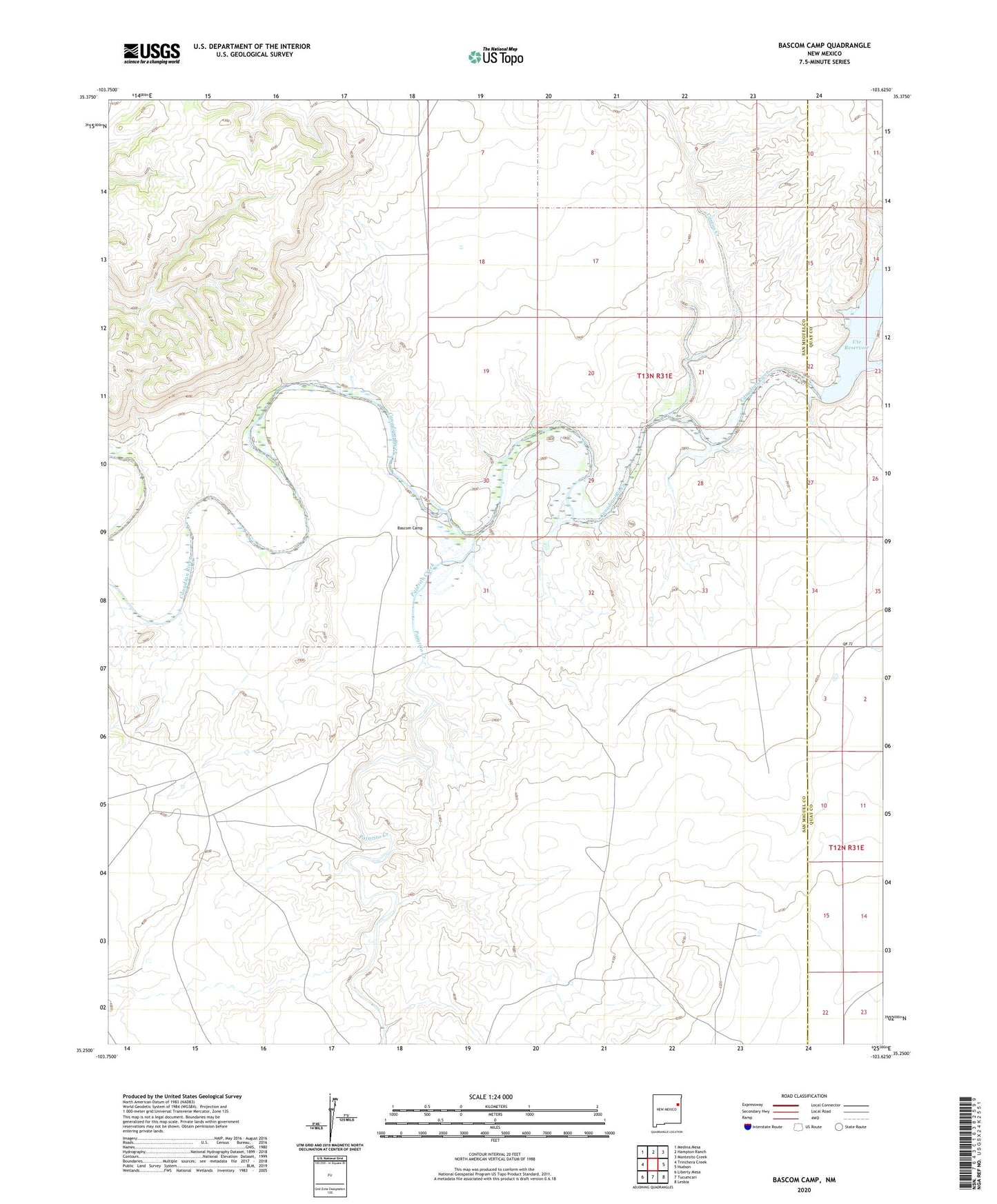
2023 topographic map quadrangle Bascom Camp in the state of New Mexico. Scale: 1:24000. Based on the newly updated USGS 7.5' US Topo map series, this map is in the following counties: San Miguel, Quay. The map contains contour data, water features, and other items you are used to seeing on USGS maps, but also has updated roads and other features. This is the next generation of topographic maps. Printed on high-quality waterproof paper with UV fade-resistant inks.
Quads adjacent to this one:
West: Trinchera Creek
Northwest: Medina Mesa
North: Hampton Ranch
Northeast: Montesito Creek
East: Hudson
Southeast: Lesbia
South: Tucumcari
Southwest: Liberty Mesa
This map covers the same area as the classic USGS quad with code o35103c6.
Contains the following named places: 05502 Water Well, Baca Location Number Two, Bascom Camp, Bascom Pens, Carros Creek, Curtis, Fort Bascom Historical Marker, Pajarito Creek