MyTopo
Bootleg Ridge New Mexico US Topo Map
Couldn't load pickup availability
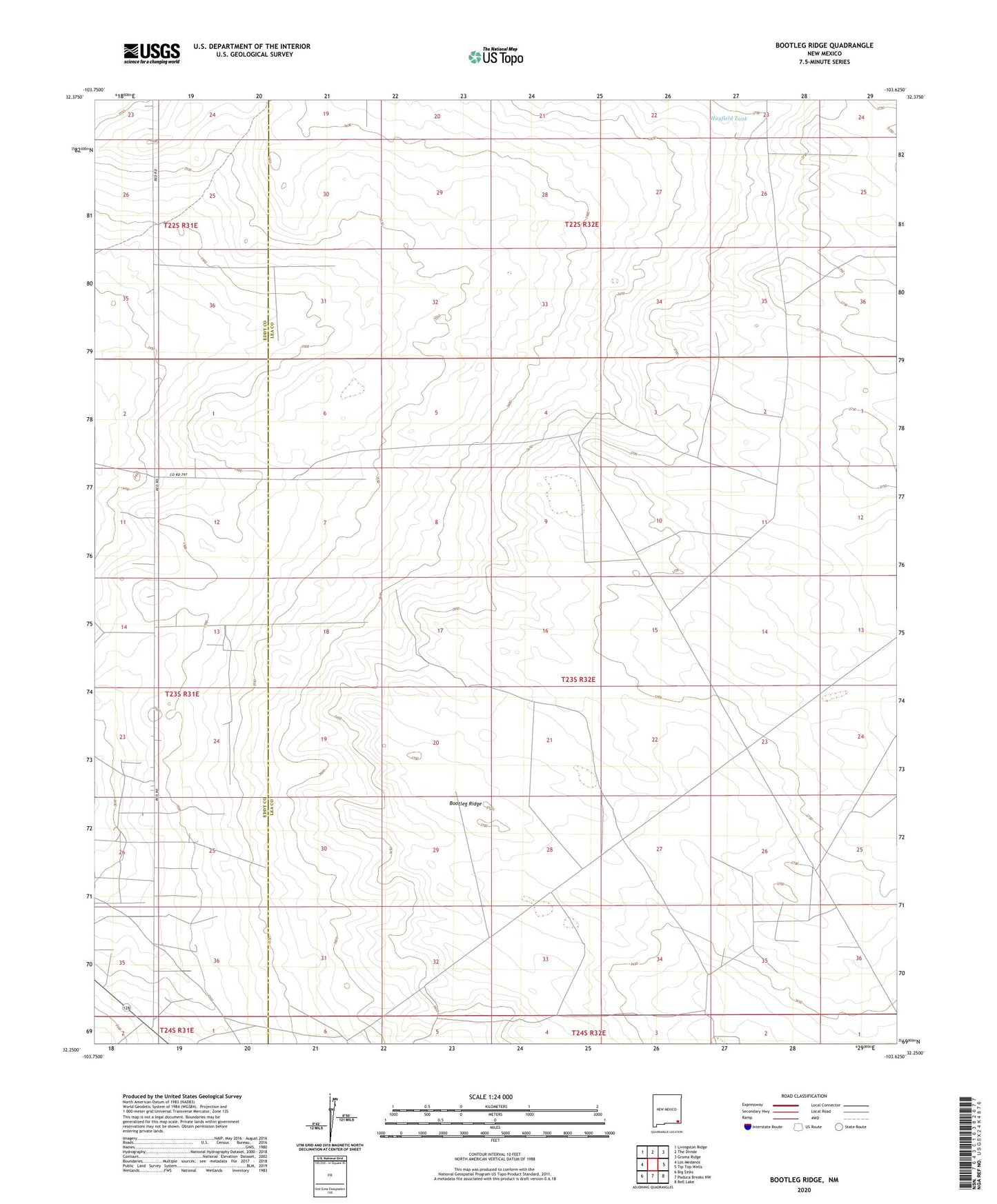
2023 topographic map quadrangle Bootleg Ridge in the state of New Mexico. Scale: 1:24000. Based on the newly updated USGS 7.5' US Topo map series, this map is in the following counties: Lea, Eddy. The map contains contour data, water features, and other items you are used to seeing on USGS maps, but also has updated roads and other features. This is the next generation of topographic maps. Printed on high-quality waterproof paper with UV fade-resistant inks.
Quads adjacent to this one:
West: Los Medanos
Northwest: Livingston Ridge
North: The Divide
Northeast: Grama Ridge
East: Tip Top Wells
Southeast: Bell Lake
South: Paduca Breaks NW
Southwest: Big Sinks
This map covers the same area as the classic USGS quad with code o32103c6.
Contains the following named places: 13592 Water Well, 13593 Water Well, 13594 Water Well, 13595 Water Well, Bootleg Ridge, Clifton Well, Hayfield Tank, Sand Dunes Oil Field, Triste Draw Oil Field