MyTopo
Capitol Peak SE New Mexico US Topo Map
Couldn't load pickup availability
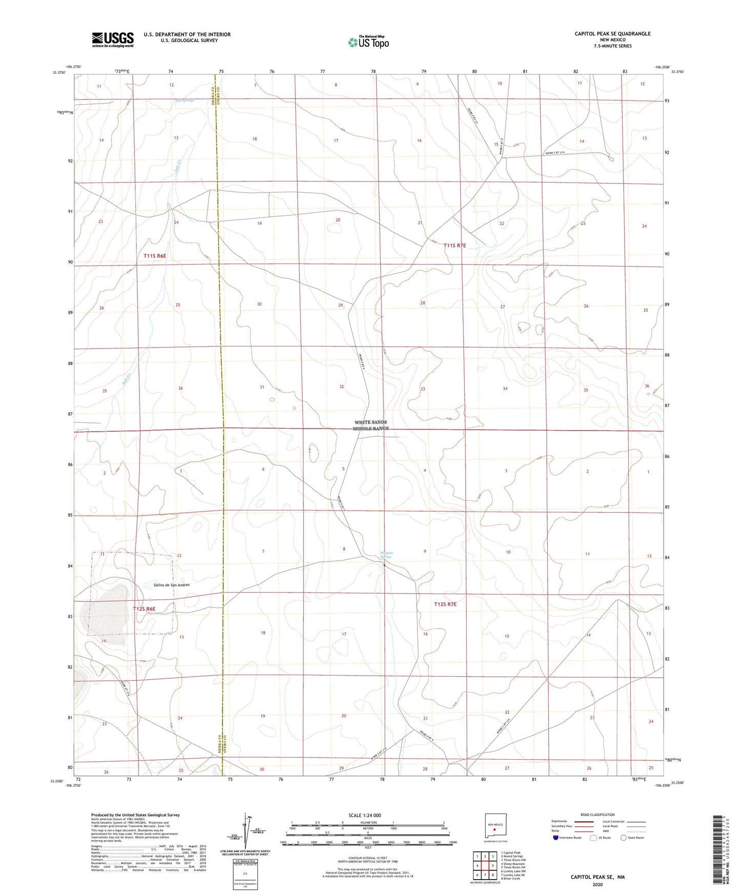
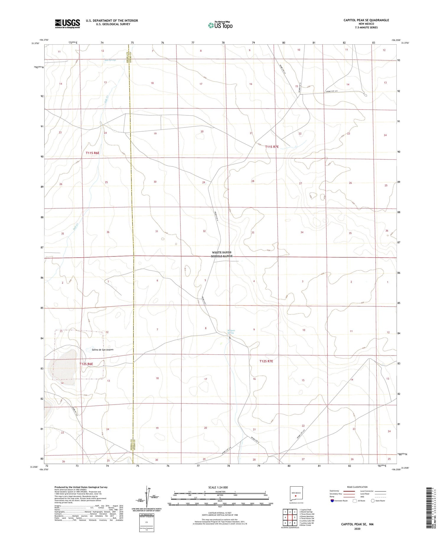
2023 topographic map quadrangle Capitol Peak SE in the state of New Mexico. Scale: 1:24000. Based on the newly updated USGS 7.5' US Topo map series, this map is in the following counties: Otero, Sierra. The map contains contour data, water features, and other items you are used to seeing on USGS maps, but also has updated roads and other features. This is the next generation of topographic maps. Printed on high-quality waterproof paper with UV fade-resistant inks.
Quads adjacent to this one:
West: Sheep Mountain
Northwest: Capitol Peak
North: Mound Springs
Northeast: Three Rivers NW
East: Three Rivers SW
Southeast: Bitter Creek
South: Lumley Lake NE
Southwest: Lumley Lake NW
This map covers the same area as the classic USGS quad with code o33106c3.
Contains the following named places: B E Edwards Number 127, Lower Well, Malpais Spring, Salina de San Andres, Salt Springs, Short Well