MyTopo
Cimarron SE New Mexico US Topo Map
Couldn't load pickup availability
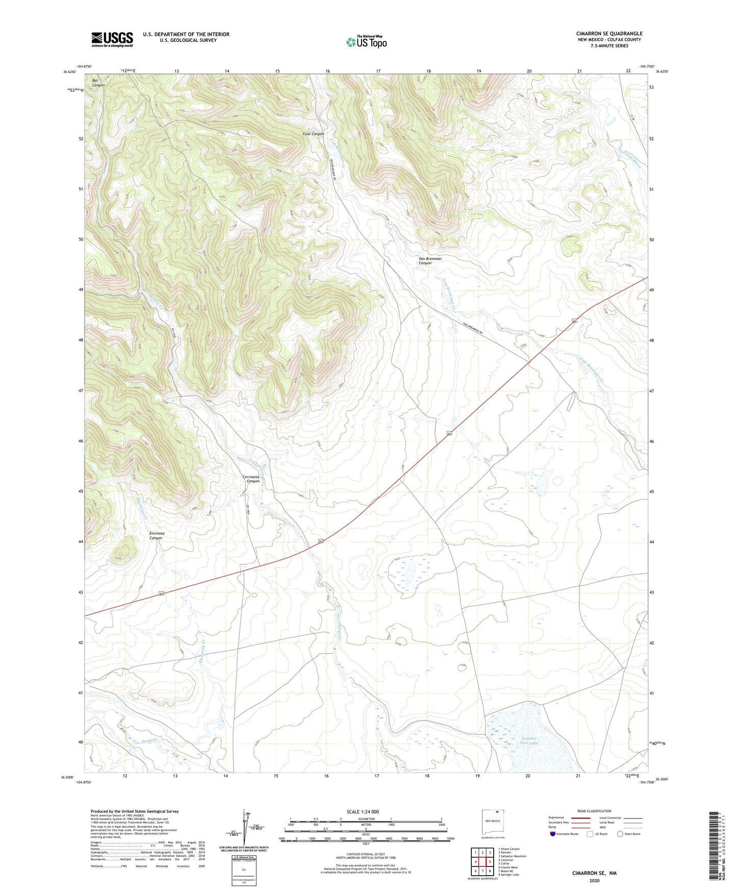
2020 topographic map quadrangle Cimarron SE in the state of New Mexico. Scale: 1:24000. Based on the newly updated USGS 7.5' US Topo map series, this map is in the following counties: Colfax. The map contains contour data, water features, and other items you are used to seeing on USGS maps, but also has updated roads and other features. This is the next generation of topographic maps. Printed on high-quality waterproof paper with UV fade-resistant inks.
Quads adjacent to this one:
West: Cimarron
Northwest: House Canyon
North: Dawson
Northeast: Saltpeter Mountain
East: Colfax
Southeast: Springer Lake
South: Miami NE
Southwest: Coyote Mesa
Contains the following named places: Antelope Valley Number 2 Reservoir Dam, Cerrososo Canyon, Coal Canyon, Encinosa Canyon, Number Two Lake, Van Bremmer Canyon