MyTopo
Colfax New Mexico US Topo Map
Couldn't load pickup availability
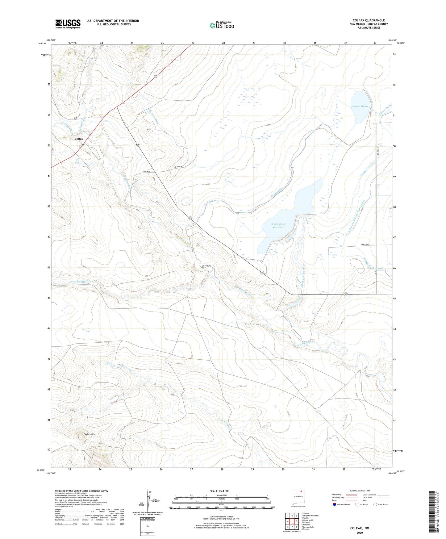
2020 topographic map quadrangle Colfax in the state of New Mexico. Scale: 1:24000. Based on the newly updated USGS 7.5' US Topo map series, this map is in the following counties: Colfax. The map contains contour data, water features, and other items you are used to seeing on USGS maps, but also has updated roads and other features. This is the next generation of topographic maps. Printed on high-quality waterproof paper with UV fade-resistant inks.
Quads adjacent to this one:
West: Cimarron SE
Northwest: Dawson
North: Saltpeter Mountain
Northeast: Koehler
East: Maxwell
Southeast: French
South: Springer Lake
Southwest: Miami NE
Contains the following named places: Cedar Hills, Colfax, Colfax County, Colfax Post Office, Colmor Post Office, High Line Ditch, Laguna Madre, Lake Eight, Lake Seven, Martinez, Messick, Pompoe, Saltpeter Creek, South Laguna Lateral, Stubblefield Arroyo, Stubblefield Dam, Stubblefield Lateral, Stubblefield Reservoir, Stublefield Dam, Van Bremmer Creek, Vermejo Ditch