MyTopo
Curtis Camp New Mexico US Topo Map
Couldn't load pickup availability
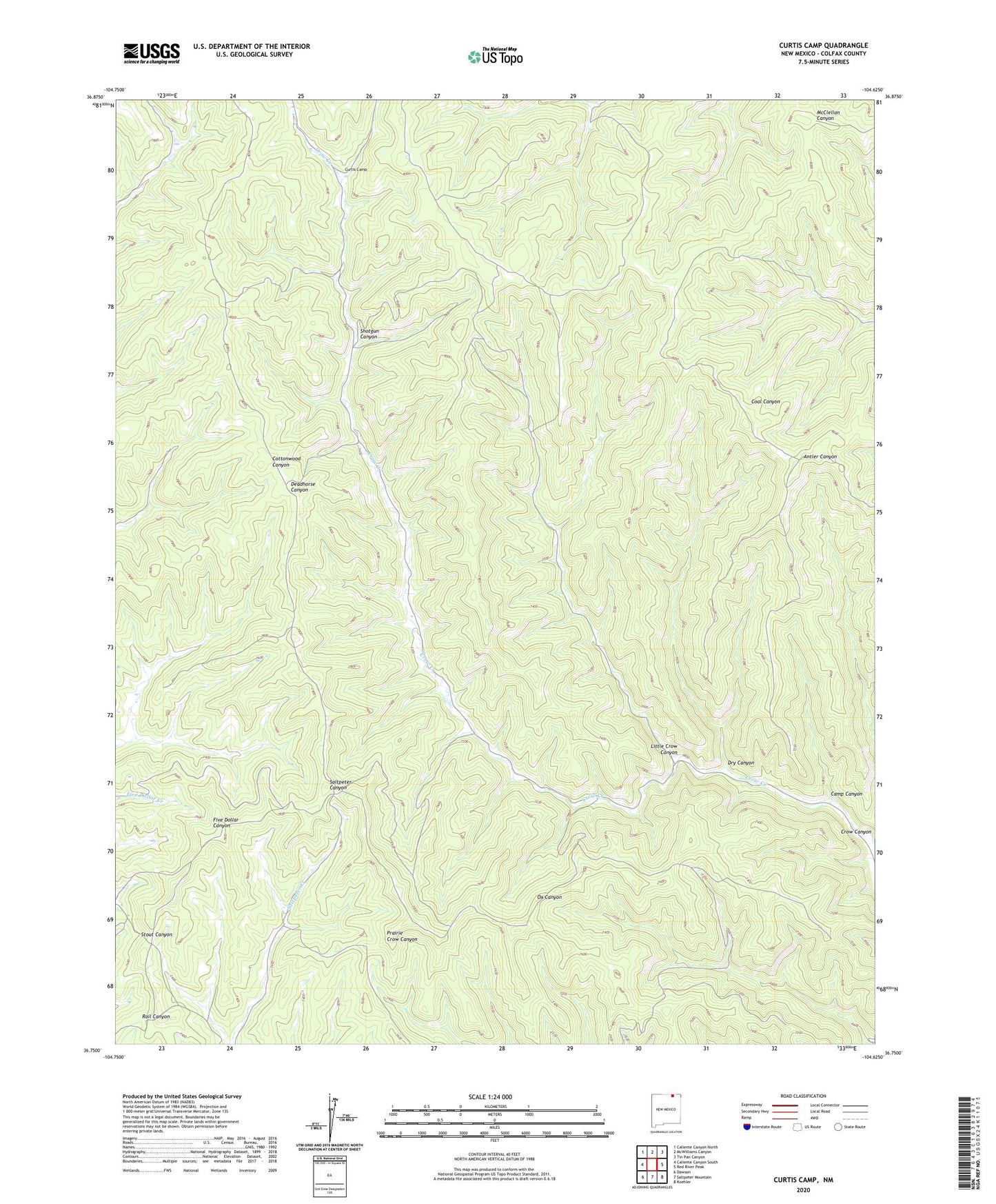
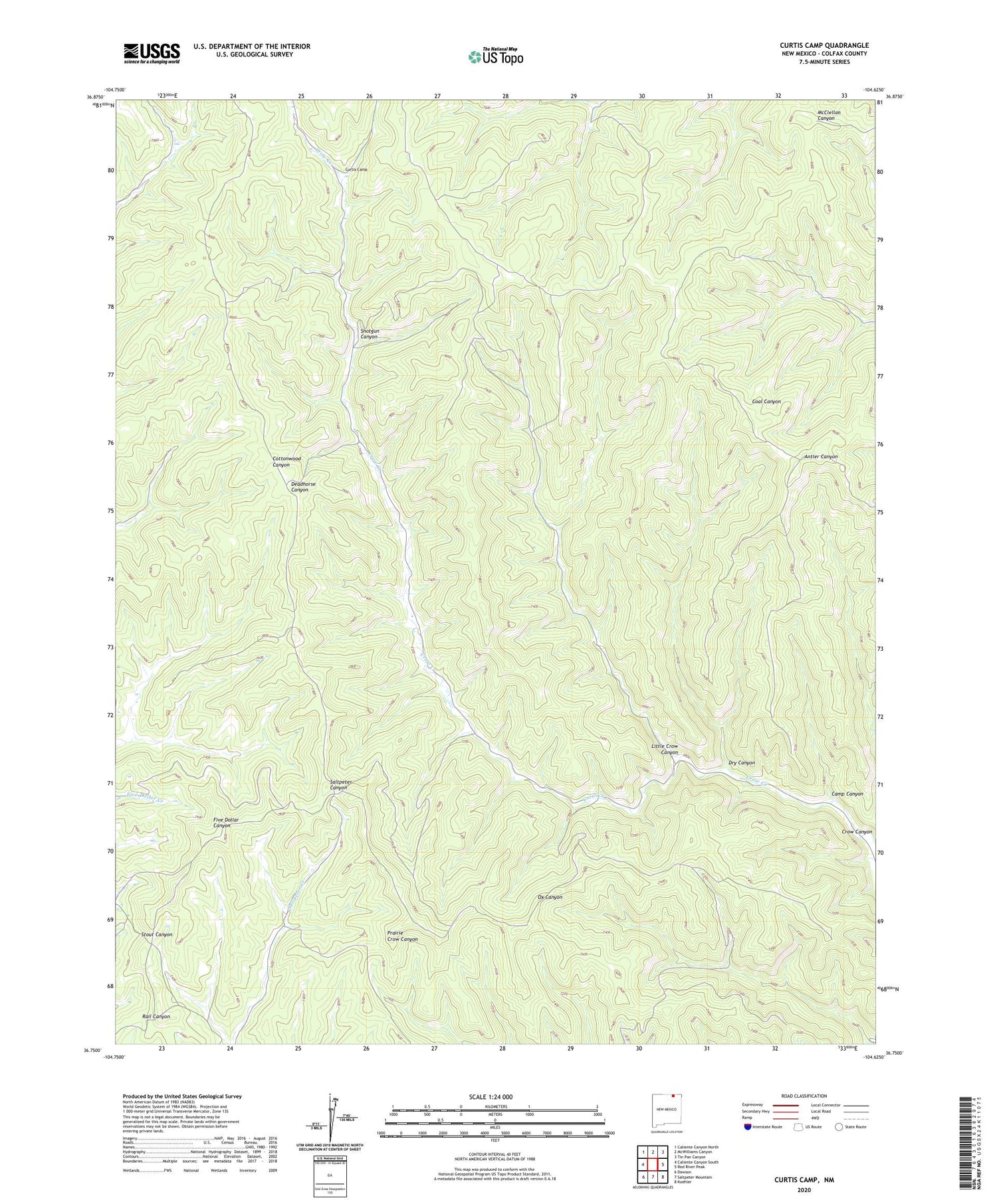
2020 topographic map quadrangle Curtis Camp in the state of New Mexico. Scale: 1:24000. Based on the newly updated USGS 7.5' US Topo map series, this map is in the following counties: Colfax. The map contains contour data, water features, and other items you are used to seeing on USGS maps, but also has updated roads and other features. This is the next generation of topographic maps. Printed on high-quality waterproof paper with UV fade-resistant inks.
Quads adjacent to this one:
West: Caliente Canyon South
Northwest: Caliente Canyon North
North: McWilliams Canyon
Northeast: Tin Pan Canyon
East: Red River Peak
Southeast: Koehler
South: Saltpeter Mountain
Southwest: Dawson
Contains the following named places: Camp Canyon, Curtis Camp, Dry Canyon, Little Crow Canyon, Shotgun Canyon