MyTopo
Elkins New Mexico US Topo Map
Couldn't load pickup availability
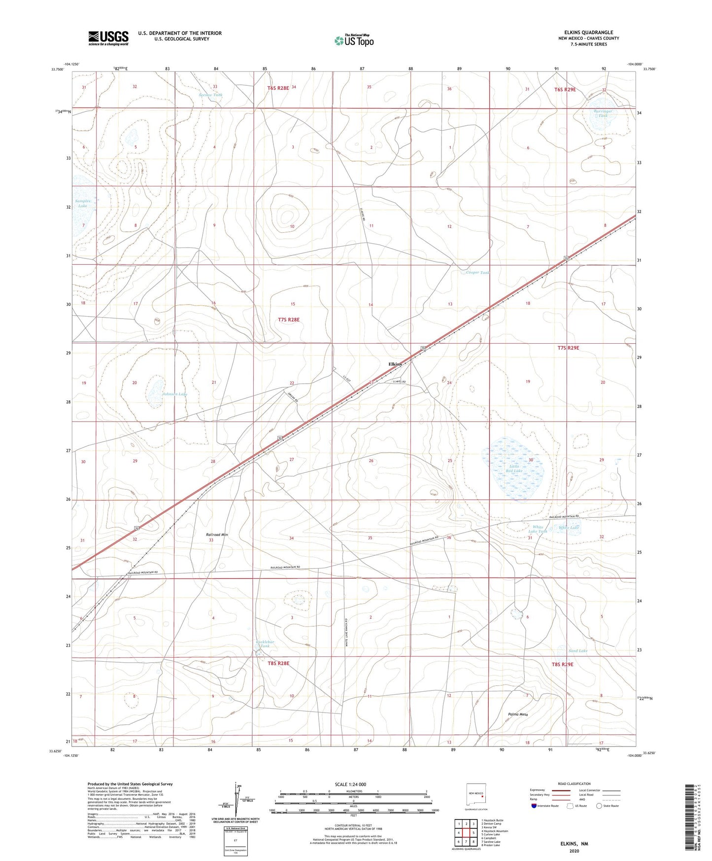
2020 topographic map quadrangle Elkins in the state of New Mexico. Scale: 1:24000. Based on the newly updated USGS 7.5' US Topo map series, this map is in the following counties: Chaves. The map contains contour data, water features, and other items you are used to seeing on USGS maps, but also has updated roads and other features. This is the next generation of topographic maps. Printed on high-quality waterproof paper with UV fade-resistant inks.
Quads adjacent to this one:
West: Haystack Mountain
Northwest: Haystack Butte
North: Denton Camp
Northeast: Kenna SW
East: Curlew Lake
Southeast: Presler Lake
South: Sardine Lake
Southwest: Campbell
Contains the following named places: Barringer Tank, Cocklebur Tank, Cooper Tank, Elkins, Elkins Post Office, Elkins Water Tank, Elkins Weather Station, Johnson Lake, Little Red Lake, Northeast Chaves Division, Samples Lake, Sand Lake, Seesaw Tank, Smith Windmill, South Chatten-Muncy Ranch, White Lake, White Lake Tank