MyTopo
Fallon Ranch New Mexico US Topo Map
Couldn't load pickup availability
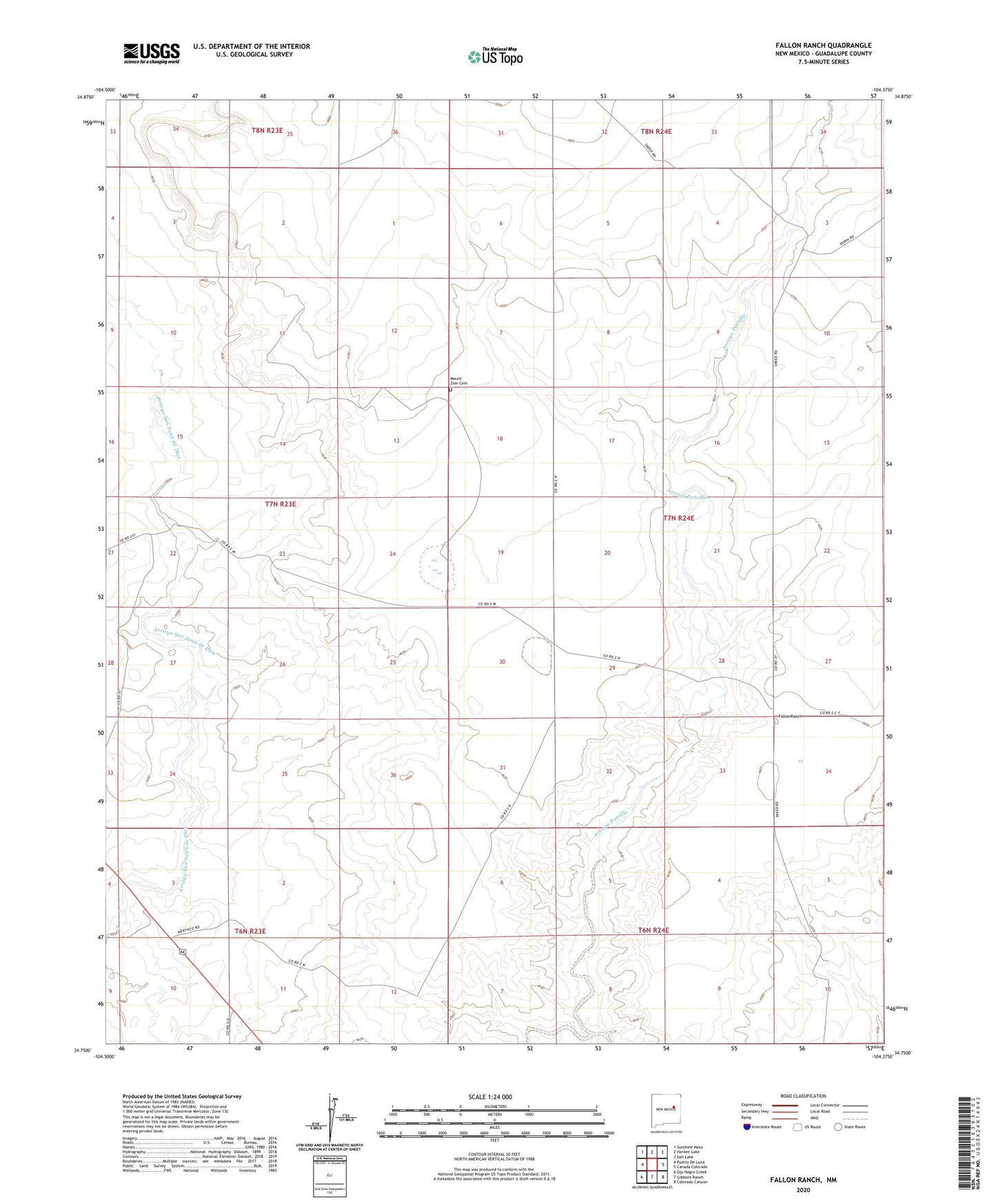
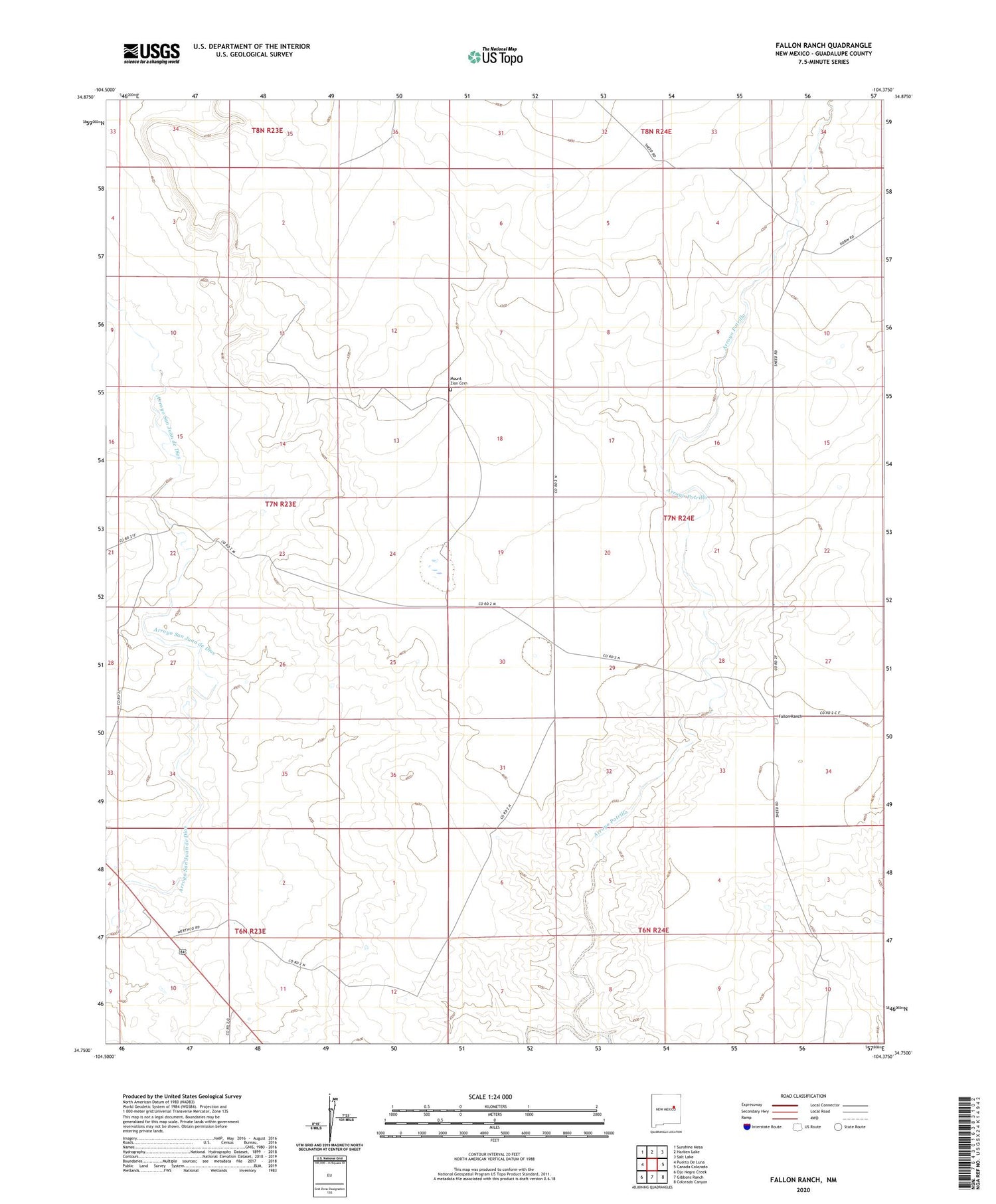
2020 topographic map quadrangle Fallon Ranch in the state of New Mexico. Scale: 1:24000. Based on the newly updated USGS 7.5' US Topo map series, this map is in the following counties: Guadalupe. The map contains contour data, water features, and other items you are used to seeing on USGS maps, but also has updated roads and other features. This is the next generation of topographic maps. Printed on high-quality waterproof paper with UV fade-resistant inks.
Quads adjacent to this one:
West: Puerto De Luna
Northwest: Sunshine Mesa
North: Harben Lake
Northeast: Salt Lake
East: Canada Colorado
Southeast: Colorado Canyon
South: Gibbons Ranch
Southwest: Ojo Negro Creek
Contains the following named places: Bray Ranch, Fallon Ranch, First Methodist Episcopal Church South, Johnson Ranch, Mount Zion Cemetery, Nickelson Well, Slaton Ranch