MyTopo
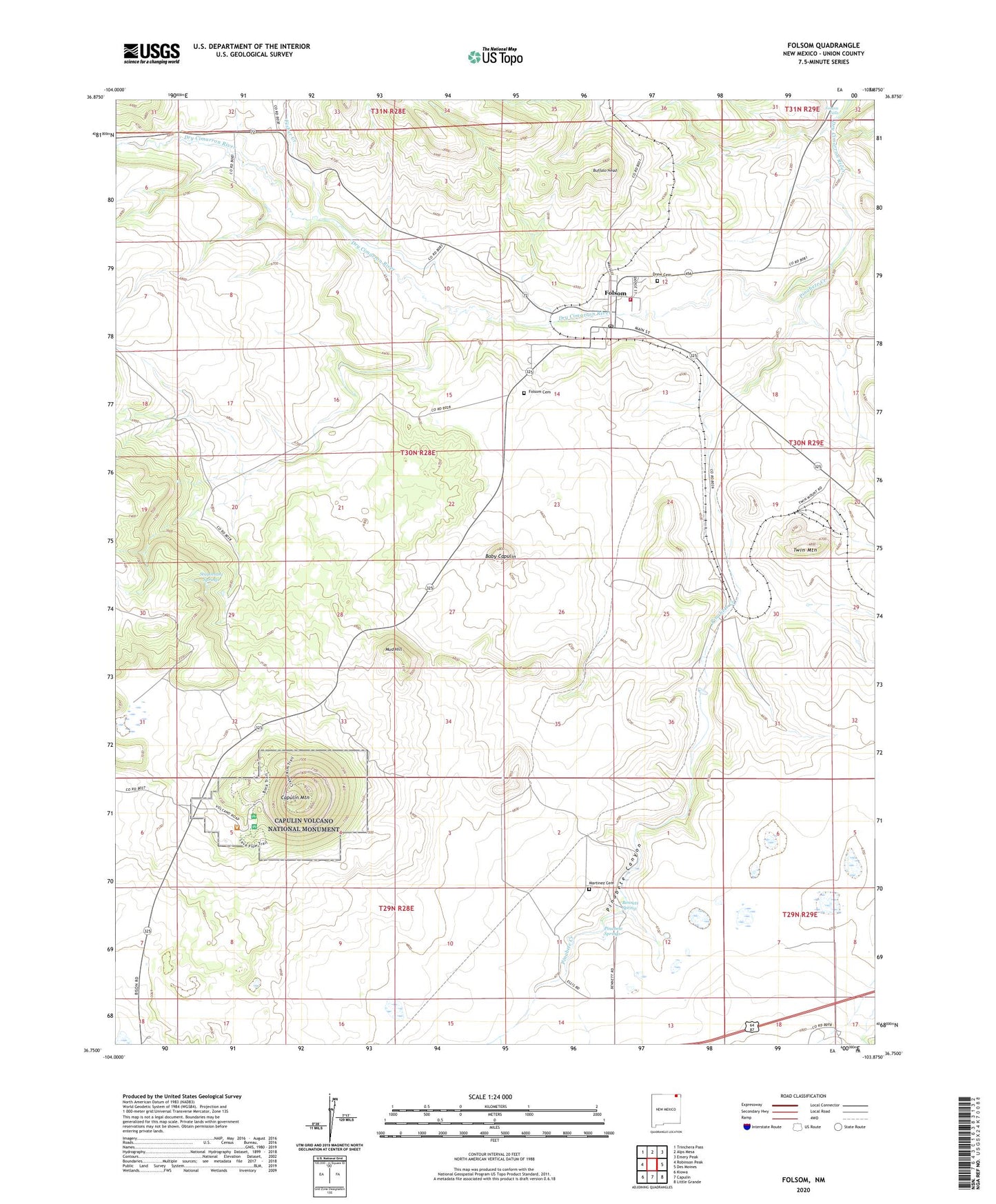
Folsom New Mexico US Topo Map
Couldn't load pickup availability
2023 topographic map quadrangle Folsom in the state of New Mexico. Scale: 1:24000. Based on the newly updated USGS 7.5' US Topo map series, this map is in the following counties: Union. The map contains contour data, water features, and other items you are used to seeing on USGS maps, but also has updated roads and other features. This is the next generation of topographic maps. Printed on high-quality waterproof paper with UV fade-resistant inks.
Quads adjacent to this one:
West: Robinson Peak
Northwest: Trinchera Pass
North: Alps Mesa
Northeast: Emery Peak
East: Des Moines
Southeast: Little Grande
South: Capulin
Southwest: Kiowa
This map covers the same area as the classic USGS quad with code o36103g8.
Contains the following named places: 10010 Water Well, 10304 Water Well, 88414, Baby Capulin, Bary Capulin, Bennett, Bennett Spring, Buffalo Head, Capulin Mountain, Capulin Volcano National Monument, Cornay, Drew Cemetery, Ellis, First Baptist Church, Fisher Creek, Folsom, Folsom Cemetery, Folsom Coal Loading Chute, Folsom Falls, Folsom Fire Department, Folsom Hotel, Folsom Museum, Folsom Museum Historic Site, Folsom Post Office, Folsom Railroad Tank Bed, King, Martinez Cemetery, Mud Hill, Pinabete Canyon, Pinabete Creek, Pinabete Springs, Saint Josephs Catholic Church, Stuyvesant Springs, Twin Mountain, Twin Mountain Rock Mine, Village of Folsom


